If you think adventure is dangerous try routine, it’s lethal.
– Paulo Coelho
I believe there’s no thread here for travelling, so I thought I’d start one. Tips, photos, after-action reports, stories, reminiscences. It’s all good.
Note: “international” applies to any travel outside the nation of your regular residence; including of course to the U.S.A.
Just got back from a 10-day trip to Costa Rica. We visited the Nicoya (large northern peninsula on the Pacific) coast, Bijagua (a smaller, less visited town in the northern mountains) and La Fortuna (a very popular and busy tourist town near the iconic Volcan Arenal.)
Driving tips for Costa Rica.
I have travelled pretty extensively, but have never driven in another country before, except for a couple of days I rented a scooter in Chiang Mai, Thailand. So this was a new experience for me. We drove quite a lot.
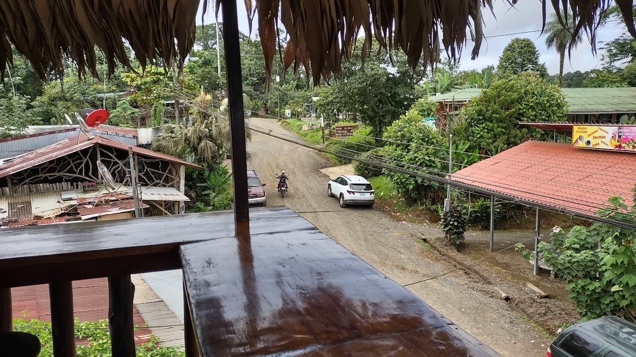
If you’re used to driving in the U.S., driving in CR is easy. Roads were generally narrow, but well-maintained. (This has been a huge project of the central government over the past decade.) Even on remoter parts of the coast where dirt roads were more normal, the roads were fine. We rented a RAV4, and it was nice to not have to worry about clearance, but we would’ve been ok with a sedan. Many other drivers were.
- The maximum speed limit anywhere is 80 kph (about 50 mph), dropping to 60, 40 or 25 in and near towns. People generally follow the speed limit, so expect to feel like you’re driving slowly, which lends the driving a chill vibe. Speeding over 120 kph (about 75 mph) is a go-directly-to-jail offense.
- Passing lines on the roadway are almost totally ignored, so just pass when you feel safe to.
- Bridges are almost universally single lane, so one way waits while the line of cars from the other direction crosses. Most of the time this isn’t a problem at all, but occasionally, you have to wait for a few minutes for opposing traffic to clear.
- In the cities, there’s a weird practice of having a stop (alto) sign and a traffic light at the same intersection. Ignore the stop sign.
- Otherwise, the roadway markings, signage and rules are all very similar to the U.S.
- Waze is the navigation app used by and preferred by almost everyone. I really hate Waze’s interface, but after Google Maps tried to steer us onto a private barred-and-locked road out in the boonies for the second time, I gave up on it and just used Waze. (Google Maps also once tried to send us 10 km out of town to make a U-turn and drive 10 km back after we missed our turn, so it’s good to be aware of generally where you’re going.)
- Signage for street names and house numbers does not exist anywhere, and no one uses them for directions. An actual address that you would write on an envelope might be something like “300 meters east of the Super El Abuelo 7 km south of the Catholic church in the town center.” Both of the AirBnb’s we stayed at gave us GPS coordinates to the property. Use Waze.
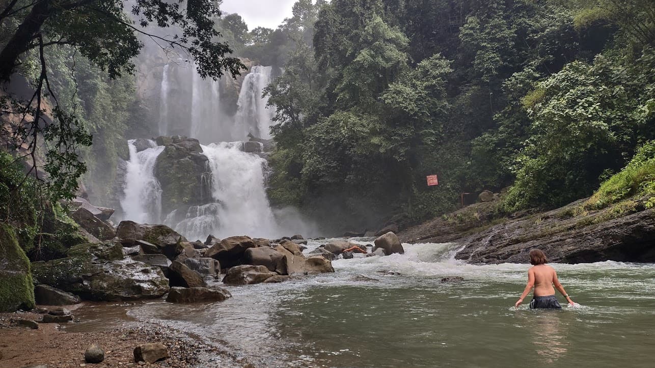
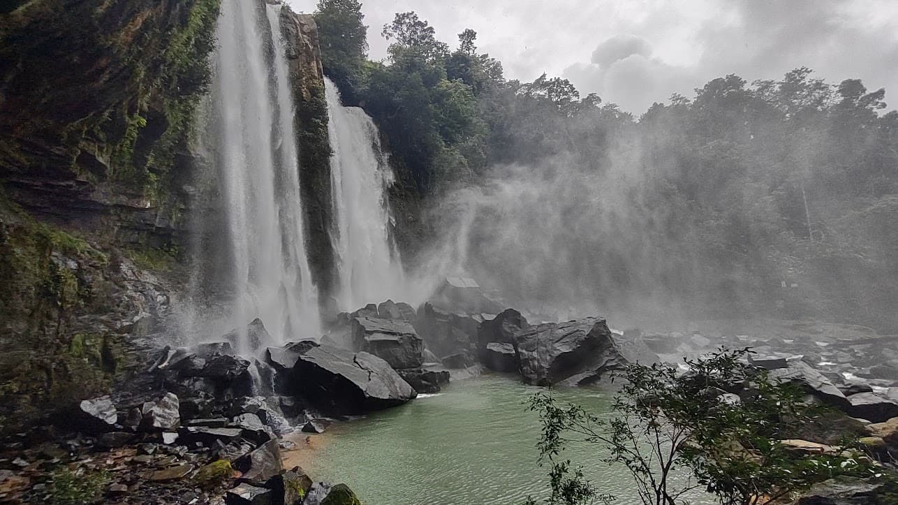
Some photos:
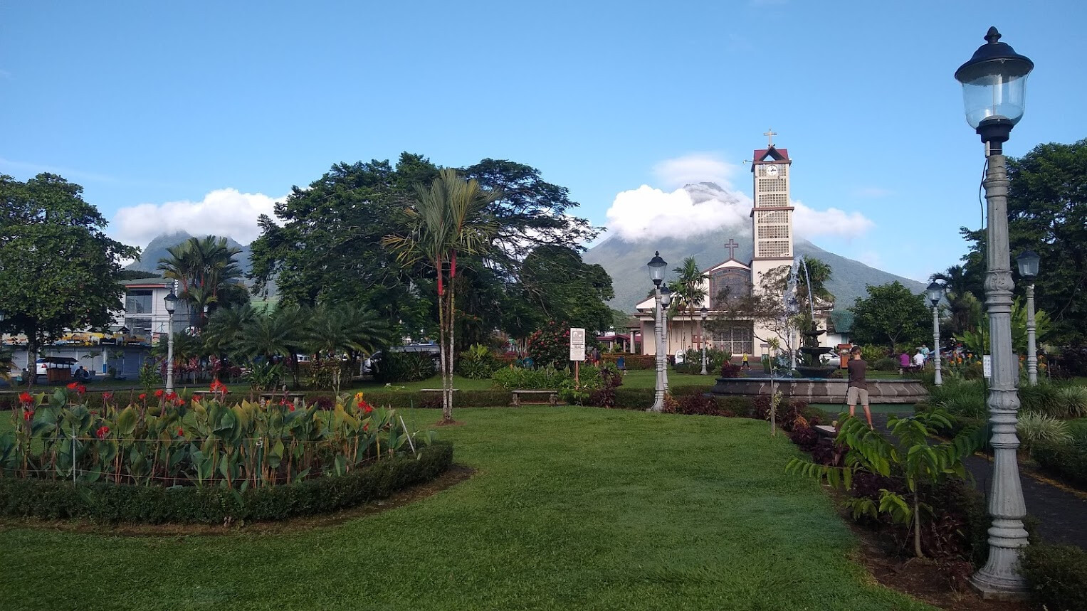
The public garden in the center of La Fortuna, looking west toward the volcano.
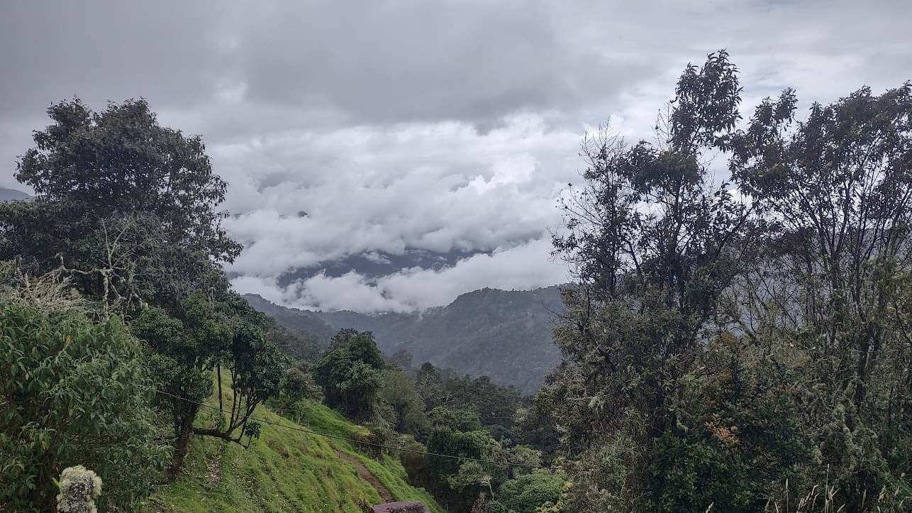
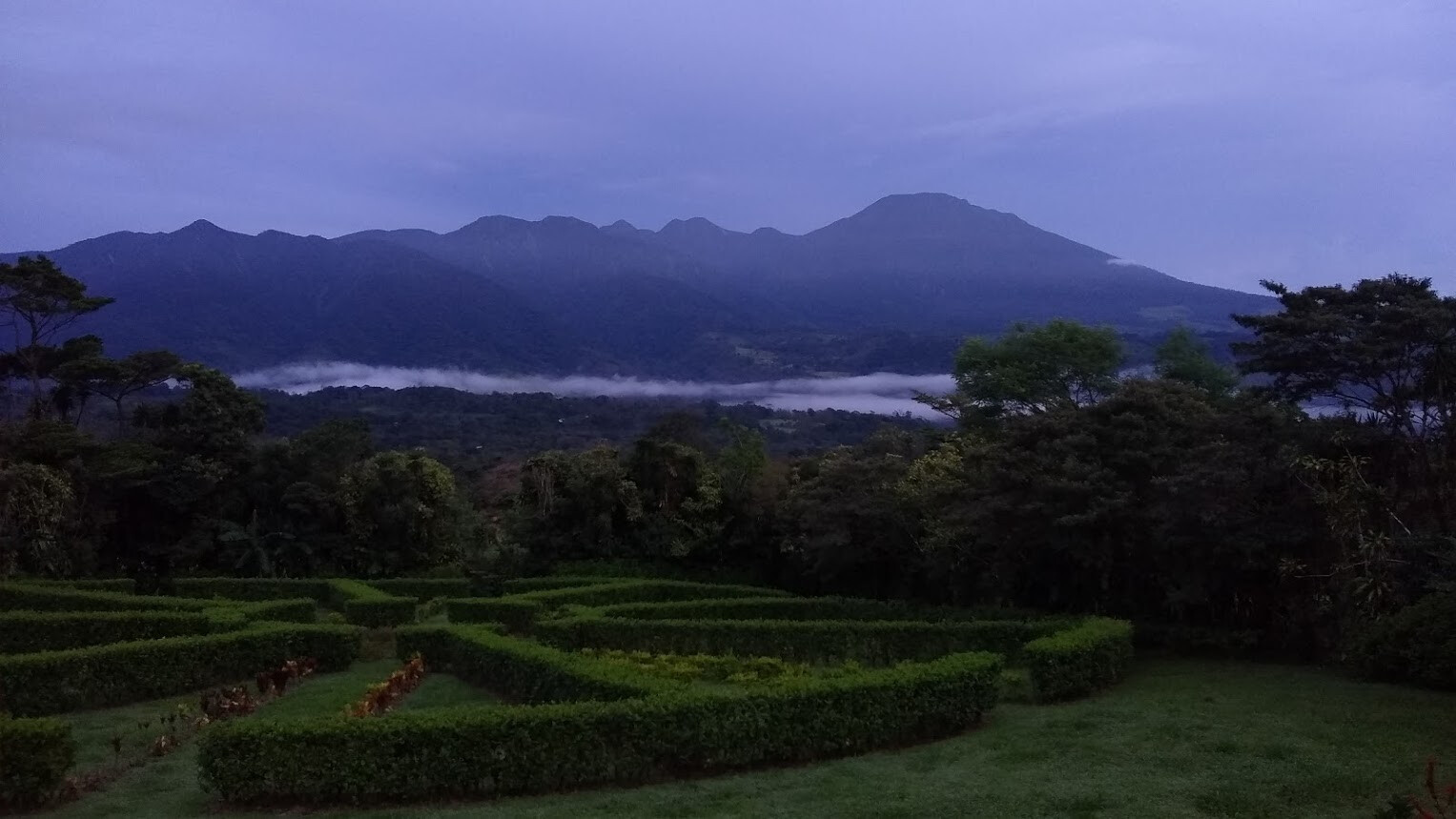
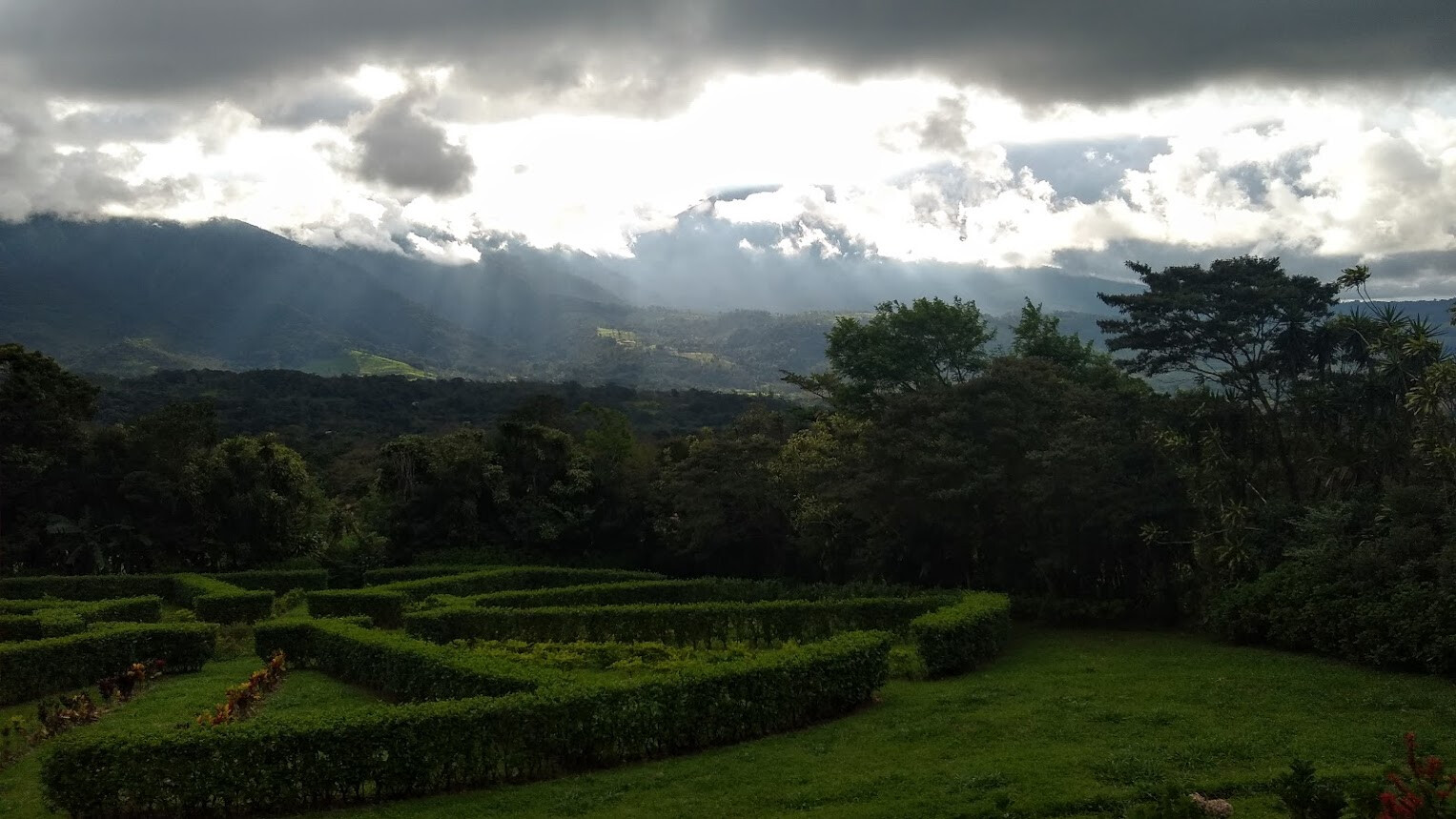
Early morning view of Volcan Miravalles from the back porch of our AirBnb in Bijagua (which was really spectacular.) This was the only cloudless view of the mountain I saw, but sunsets here were amazing, with beams of light shining through clouds to illuminate the green landscape.
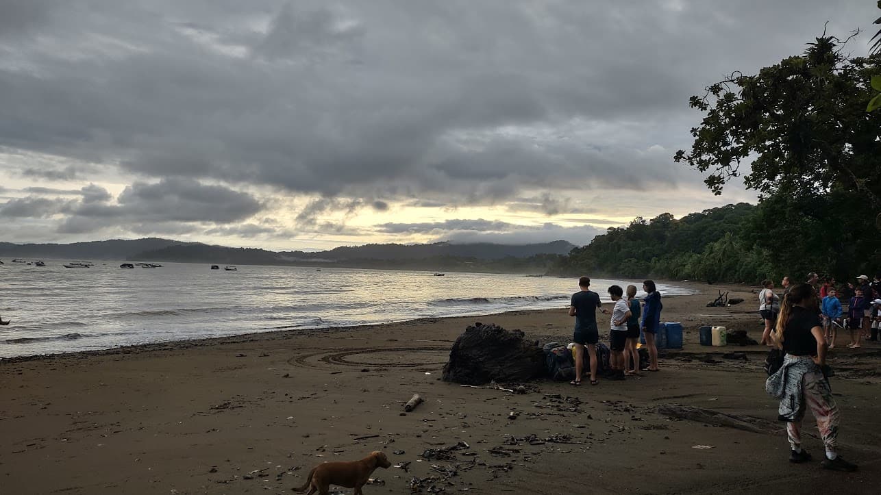
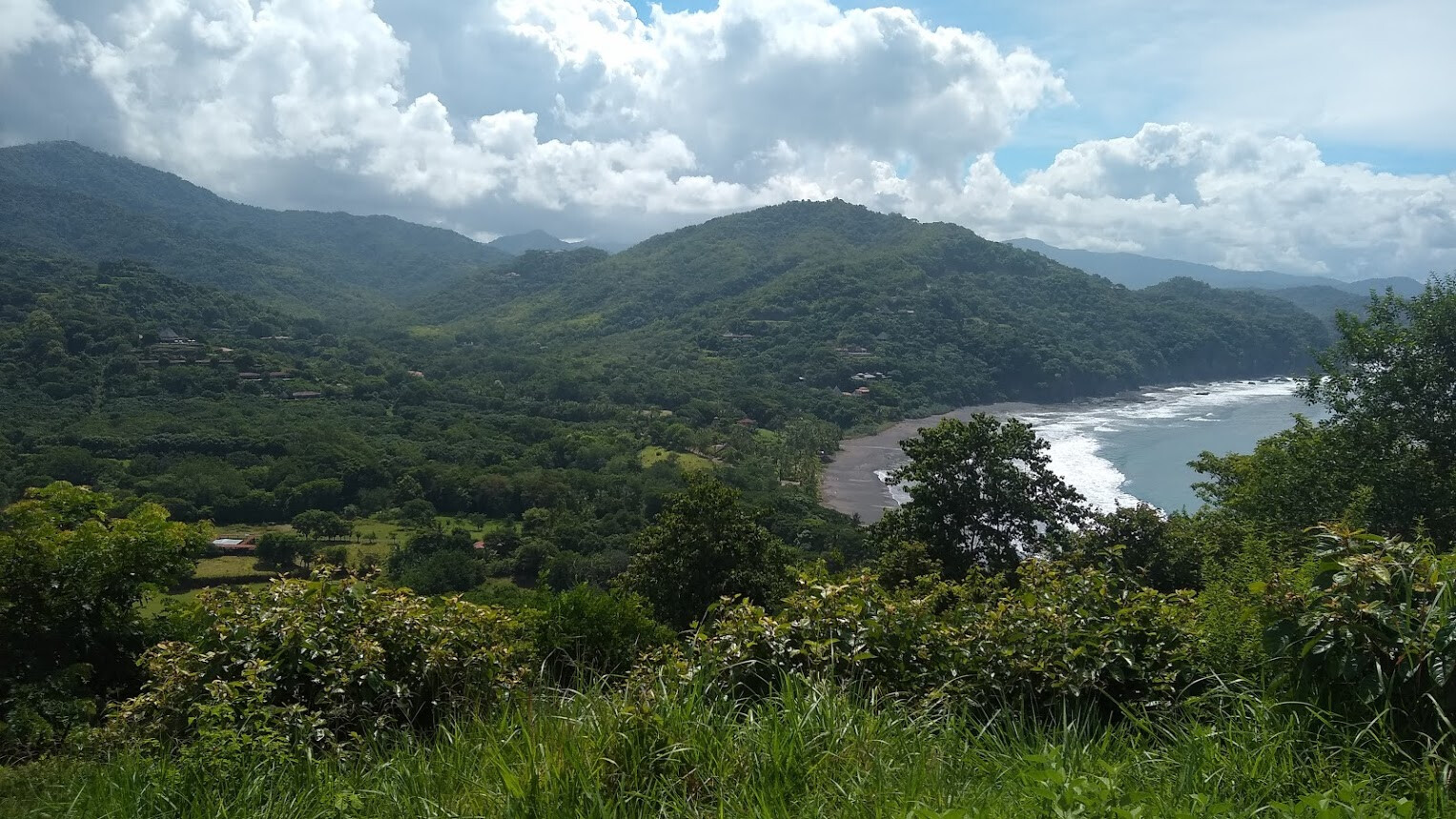
The beach at Islita on the coast, from the top of a hill I hiked to in the midday heat:
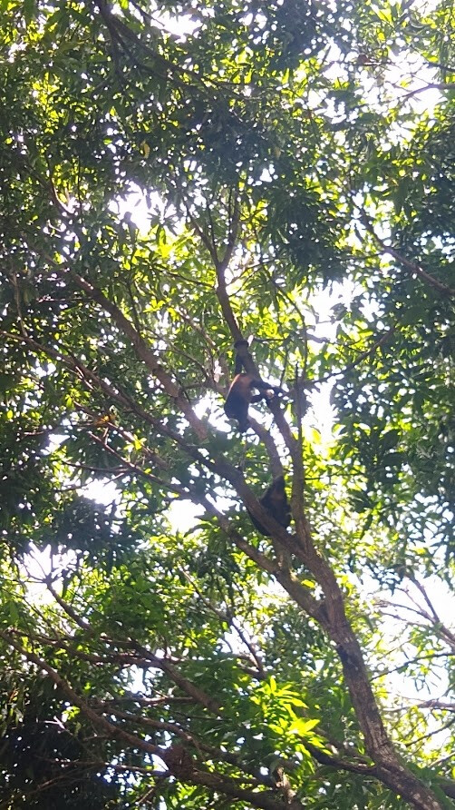
I spent quite awhile watching these howler monkeys eat mangos in the treetop and then try to drop the rinds on my head
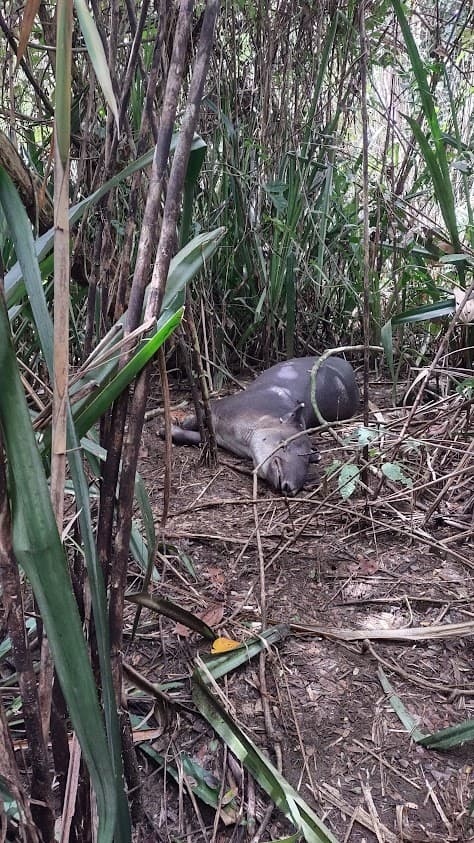
We saw sloths too, but they’re boring.