A better(?) map involving a tree:

The webcomic that’s from is pretty awesome.
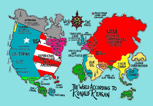
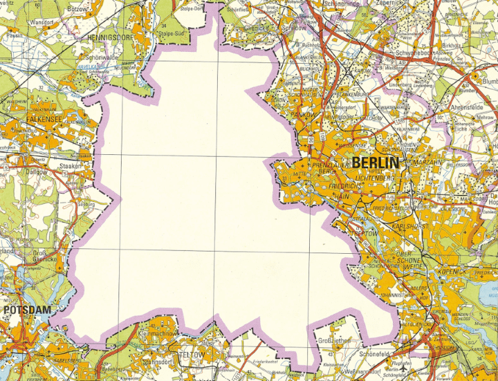
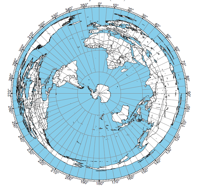
A map of (what’s left) of the world:
Arise!
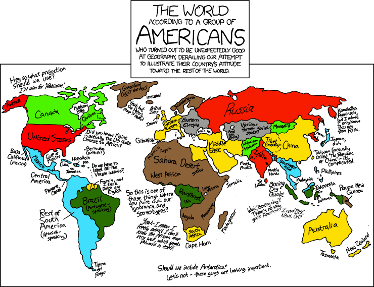
Found while skimming Reddit:
Did my map of Munich 1800 in the EiA thread inspire you?

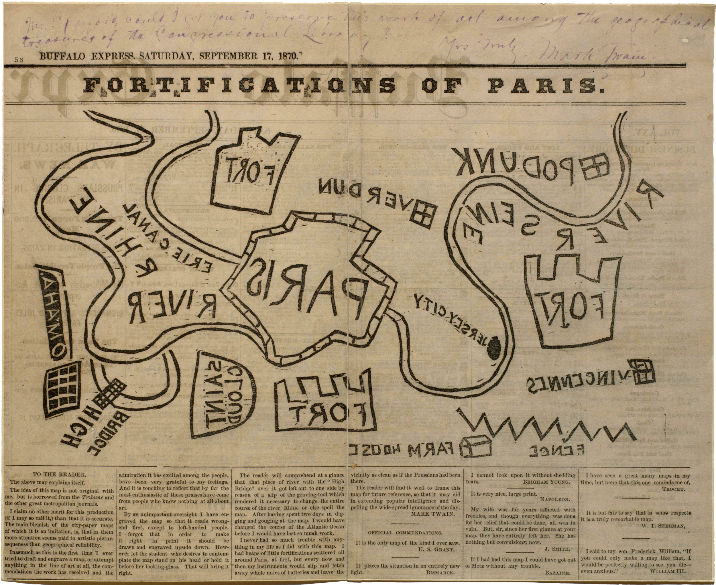
“Fortifications of Paris,” Mark Twain (Samuel L. Clemens) Buffalo Express 17 September 1870.
Tried to go through and see if this was already posted, but gave up on waiting for all the images to load…
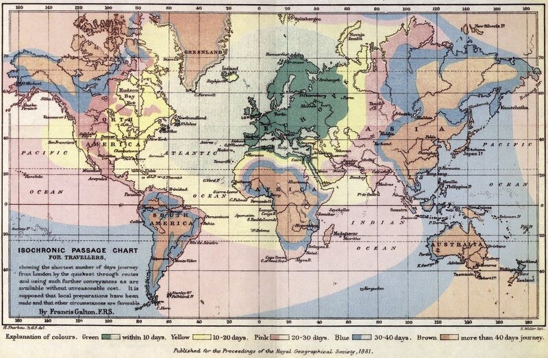
Interesting maps of expected travel times to everywhere in the world from London.
From 1881:
A similar map from 1917:
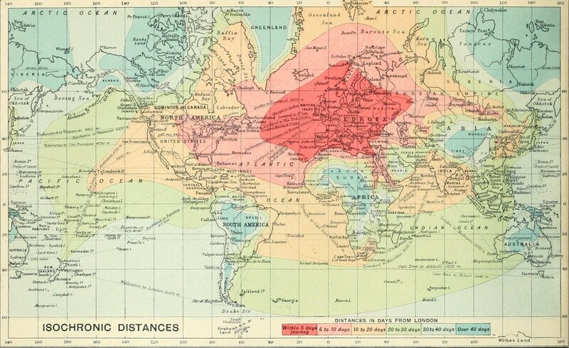
- Lets play “spot the railroads”
- Traveling by sea is weird
- When I google “interesting maps” I get this thread in the top 10. Woot!
I didn’t see it in the top 50.
Sad face.
My bad. “Satirical interesting maps” is #2.
“Interesting map forum” is… #1
There’s a 2016 version even:

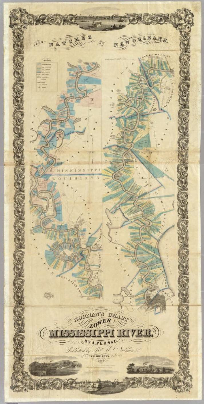
Discourse would asplode if I tried to upload this at a useful resolution, so follow this link:
https://www.davidrumsey.com/luna/servlet/detail/RUMSEY~8~1~2131~180009:Chart-Of-The-Lower-Mississippi-Rive
As someone who deals with this sort of thing nowadays, the above vacillates between fascinating and horrifying.