
I thought Prester John was canonically supposed to be in India, or at least somewhere in Central Asia? That’s how he’s described in Mandeville’s Travels.
He is a mythological moving target. Abyssinia became a frequently touted locale (makes sense, large Christian Kingdom).
Doesn’t really count but it’s neat.
Night Lights Mapped as Terrain
That patch of tallness/brightness NW of Bismarck where nobody lives is the Bakken oil field.
It’s a little weird seeing “Yugoslavians” in central Montana, but Serbia isn’t a thing in 1958. A lot of Serbians ended up working in mining. Dangerous work.
Also, I remember the ‘86 World’s Fair in Vancouver, and I remember thinking it was kind of a big deal. Hardly a word about them in news these days.
In Remembrance:
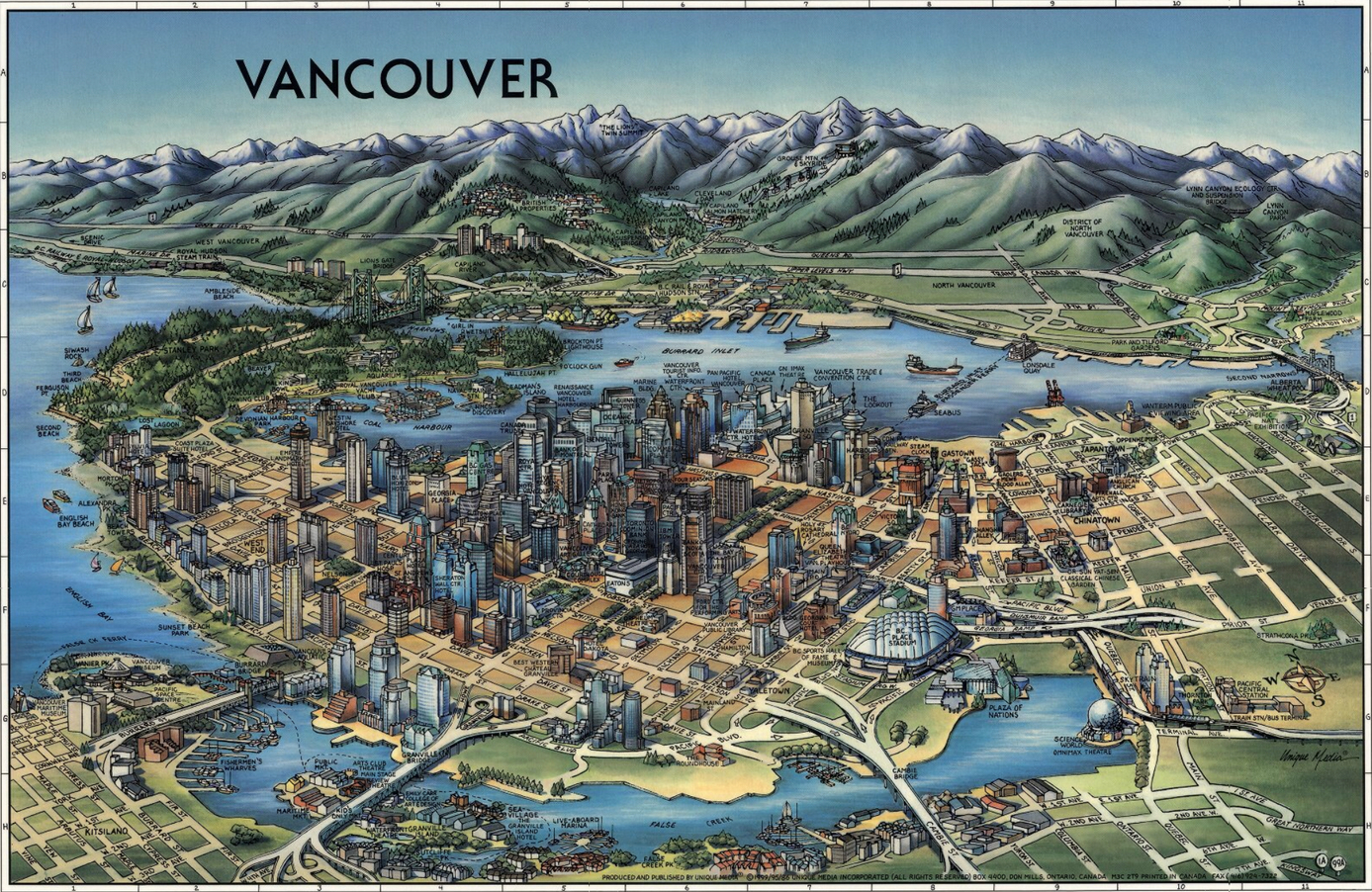


Well, Expo ‘86 had a monorail and it was amazing.

I’m sure it turned out well for the Vancouver-ites.
Skytrain is a pretty core part of Vancouver’s mass transit isn’t it?
i haven’t been back to Vancouver since, but… Wikipedia says everything is fine. I guess that salesman was on the level.
US Map of DC Superhero Cities


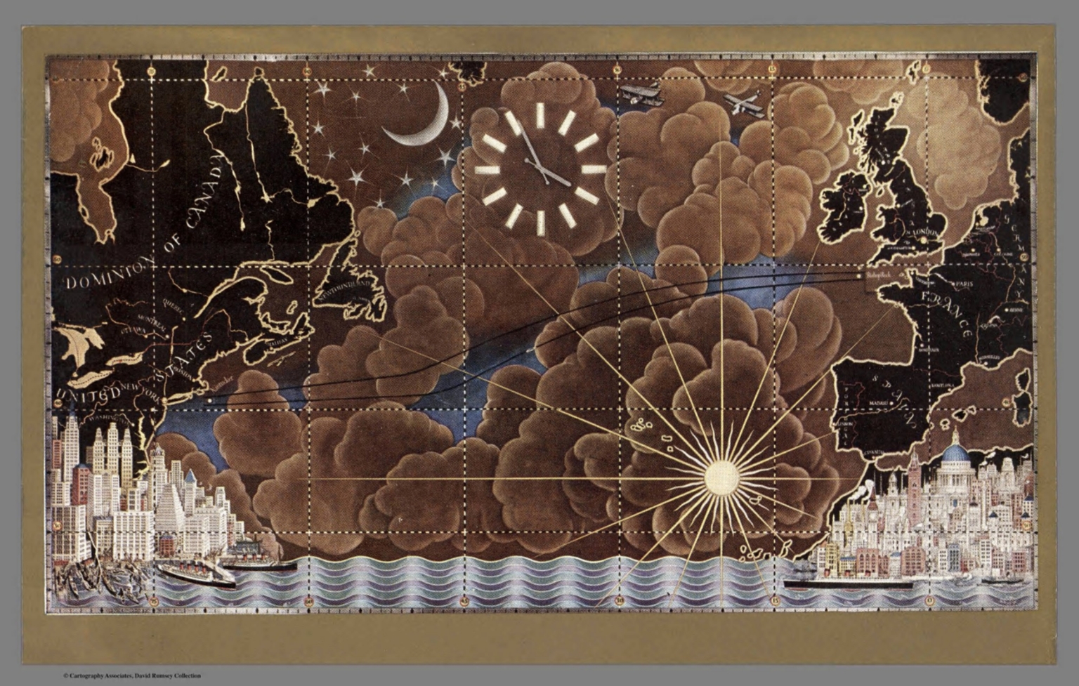
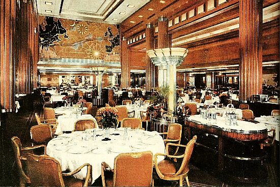
This map hangs in the Queen Mary’s Observation Bar, formerly the first class lounge. When the Queen Mary and Queen Elizabeth were in operation, miniature models of the two ships moved across the map, showing their positions on the ocean.
Uhhh…Jason…see post 102. :)
Heh, didn’t see that. However, as my post indicates, it was much more than a menu.
Here is a map for a different Cruise:
Neat, thanks for elaborating. All I had to go on was the little blurb at DavidRumsey.

I played an unhealthy amount of that game. Styrofoam hexes, miniatures… good times.
