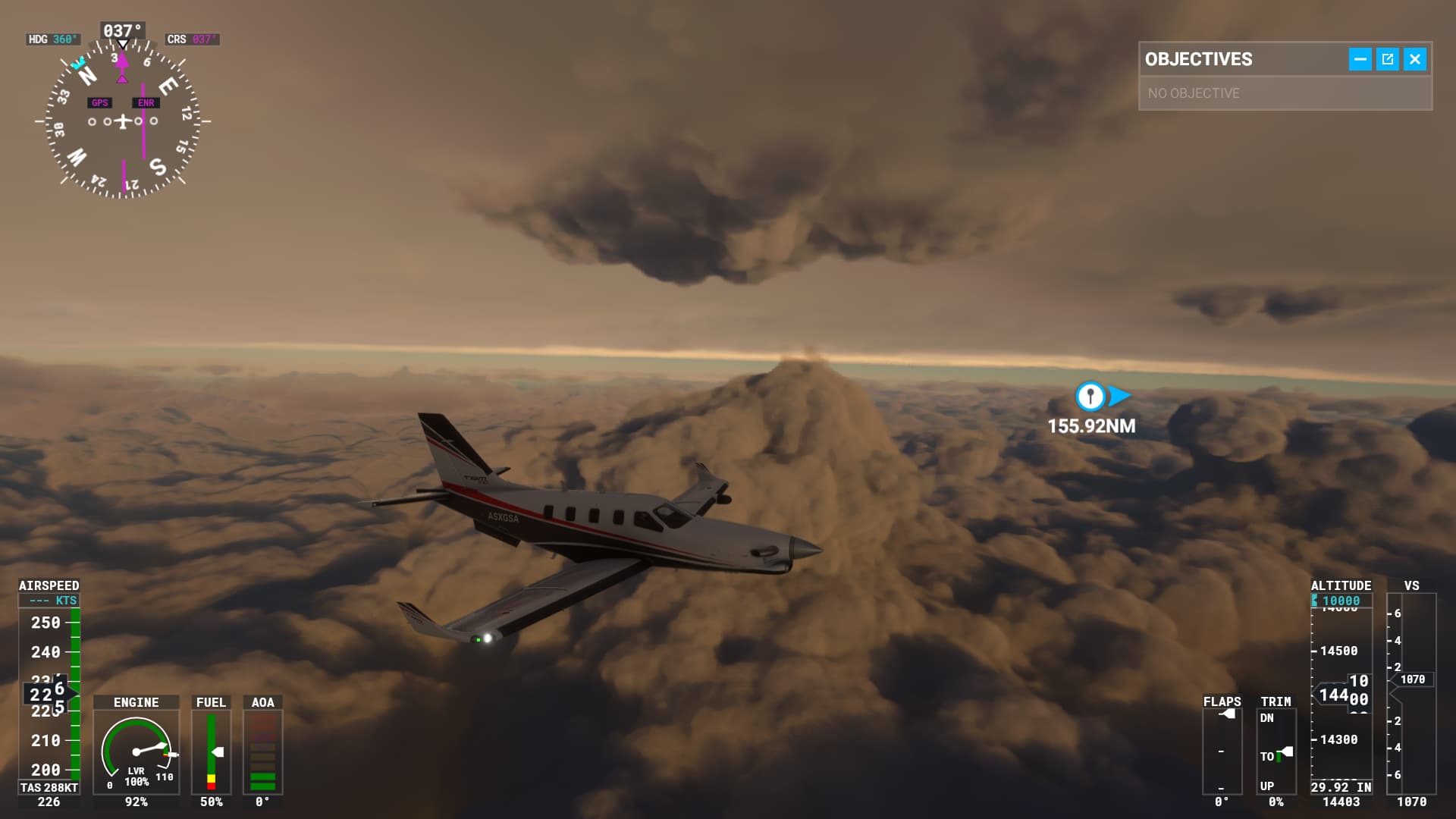
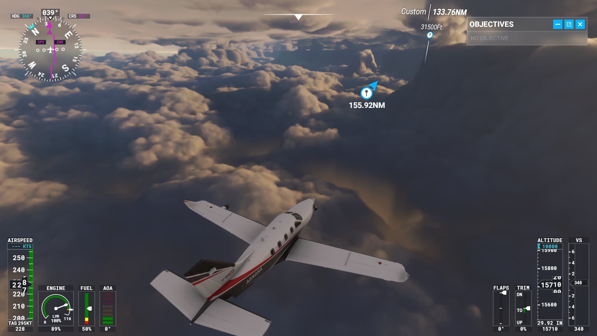
I loaded up the journey from China back to where I left off my Russian journey, and suddenly I was in an orange haze. I went below that deck of clouds, since I couldn’t climb over it, and now I’m flying between cloud layers. Nice. Just get back to Russia!
After I made that post, I kept flying for another hour or so. It’s interesting to fly through those kinds of cloud formations until you actually fly into one. Then you can’t see a god damned thing. It’s sooooo boring. So the moment I got out of those clouds to the other side, I started treating these “cliffs” of clouds and “tornadoes” of clouds like real terrain and started flying around them.
I also tried getting below the clouds and discovered there was no getting below the clouds. The mountains and valleys below were covered in trees and completely in the clouds. So I went back up to between the cloud layers and just flew in between cliffs and such made of clouds.
Downloading now. Anxious to try the streaming performance tweaks, and the new Safe Mode is going to save folks who add a lot of third-party add-ons some troubleshooting headaches, I think.
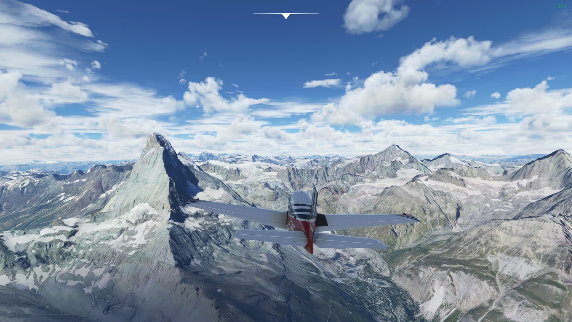
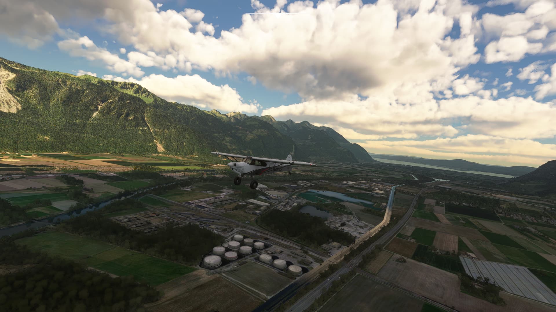
Might be an update glitch, but flying over Berlin I’m surprised how many of the POIs are using photogrammetry rather than being handcrafted. The Reichstag, the TV tower,etc. Have yet to see anything that’s definitely handcrafted apart from the Brandenburg Gate and Tegel. Still, I was mainly wanting the Live Weather and terrain caching fixes out of this update, so not too bothered. Also the Alps look much, much better, and that’s wonderful.
OK, I was gonna get back into simming. Spent days downloading and updating, pulled my joystick out of mothballs and configured it, downloaded the update, and…
First it wouldn’t update–kept making me log in over and over, then…
Pause doesn’t work correctly.
Crashed beginning a bush trip because pause doesn’t work correctly.
Can’t restart the bush trip.
Tried to delete the bush trip save folder and it crashed the sim hard.
Gosh, there’s much more I want to do in this game. All these Bush trips, and so many other areas I want to explore.
If I feel overwhelmed, I comfort myself by thinking “well, at least most of the world is ocean”. And that’s one thing I don’t want to do, is waste my time flying over oceans. (Though I’ve kept away from Sim Rate, that’s one instance where I would definitely use Sim Rate to skip my flight time over oceans as much as possible).
Dear god, wondering how big this update will be because the download speed is glacial and never seems to saturate my internet connection for some obscure reason…. Not looking forward to installing a massive update again………
I think I have that sorted, though it took several tries to land without flipping. That first runway on the Grand Alpine Tour is really short, you come in over trees, and you have to basically stall out immediately and set the aircraft down. Even so, you have to brake very gently–I’ve landed the XCub many times and don’t remember it being that sensitive.
Took a short break from Russia to fly over St. Louis today and land at Lambert airport. Either the MSFS version of St. Louis is a lot greener than the real city, or they’ve grown a lot of trees since I was last there in 2010. Good for them!
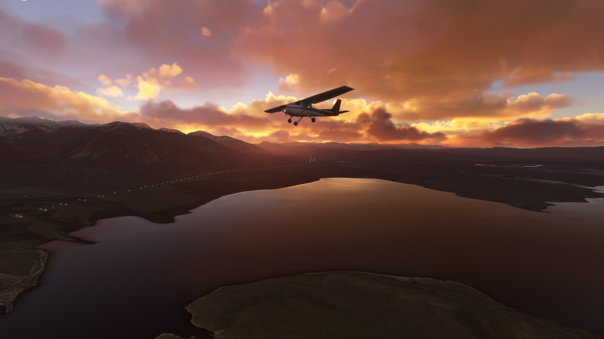
In the Russian trip, it’s pretty rad that Live Weather is working all the time now. Every time I load a saved game, instead of switching to sunny weather, it’s a new Live Weather. It’s gives me a bit of whiplash because suddenly the place I was flying when I saved looks so different all of a sudden, but it’s also really cool. This game has so much variety in clouds and lighting.
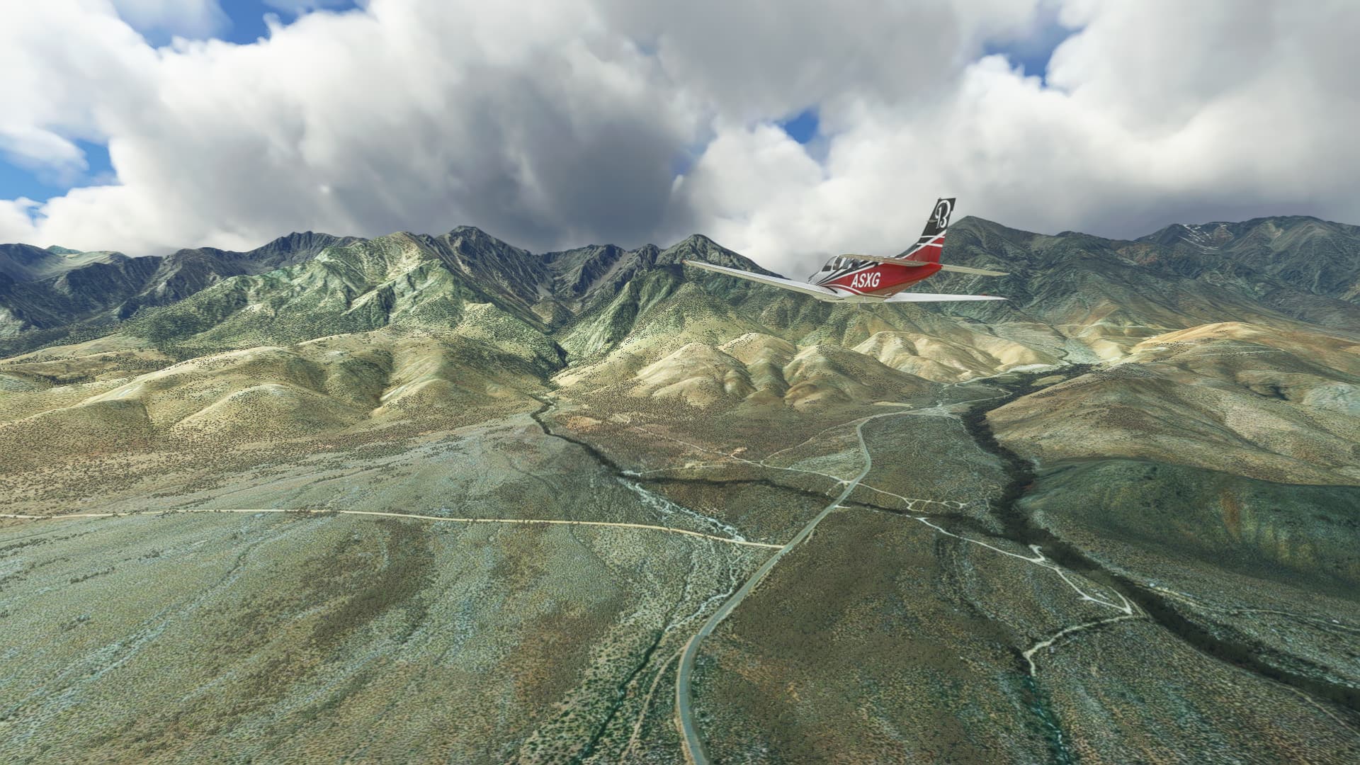
I just picked up permits for a backpacking trip in the Eastern Sierra this morning for a couple of weeks from now. So I thought I’d fly the beginning of the route to see what I was in for. I’m hoping to hike the popular Rae Lakes Loop from the east side, ascending to the loop over Kearsarge Pass. The eastern leg of the loop follows the John Muir Trail and Pacific Crest Trail through some of the most picturesque scenery in the Sierra Nevada.
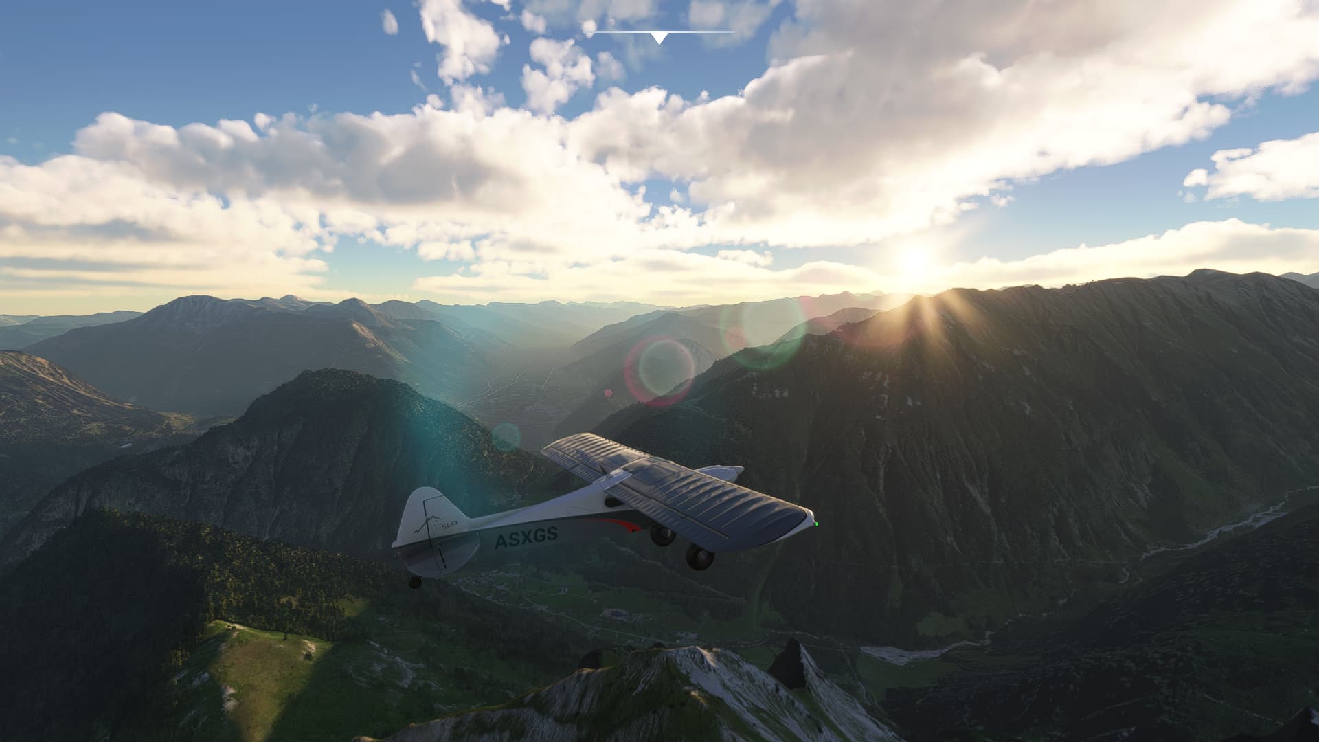
I took off from a small concrete strip in the town of Independence (elev 3908’), just off highway 395, turned west toward the mountains and starting climbing, following Onion Valley Road along Independence Creek.
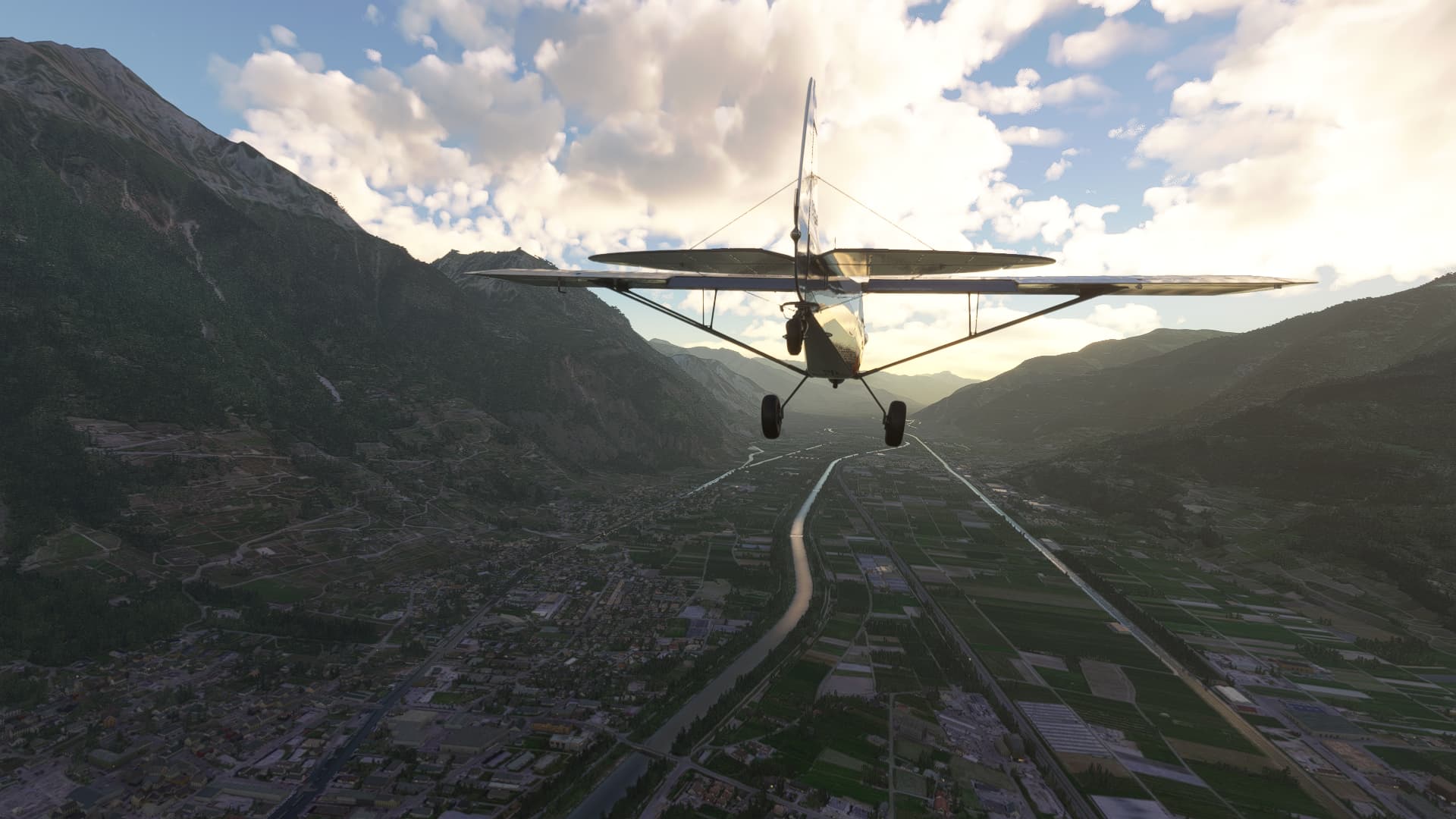
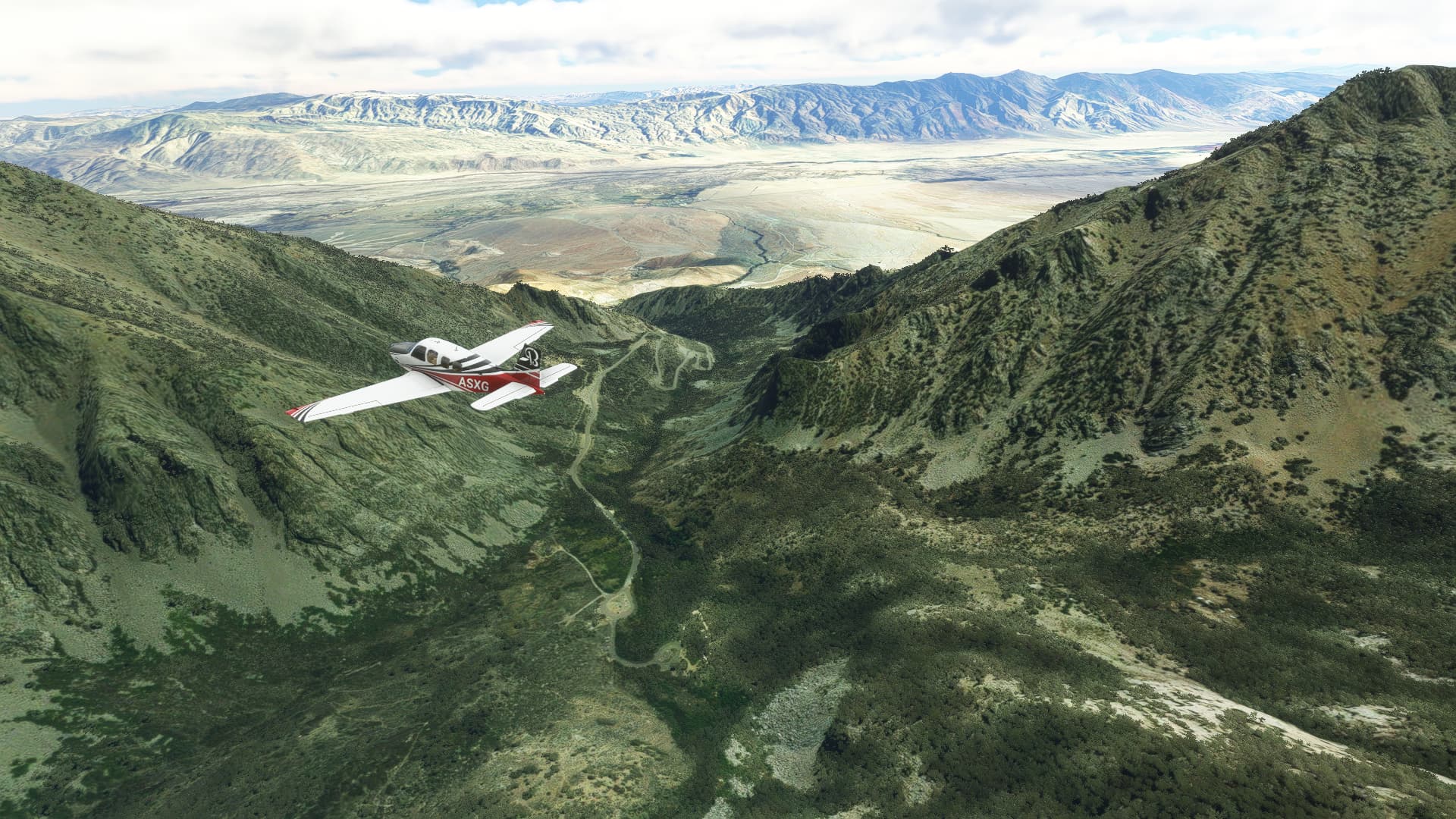
I had to circle a couple of times to gain altitude, and on one of the circles passed above Onion Valley Campground (elev 9200’), which is at the end of Onion Valley Road and is where my trail begins. The view below is looking east over the Owens Valley; the town of Independence is down there far below.
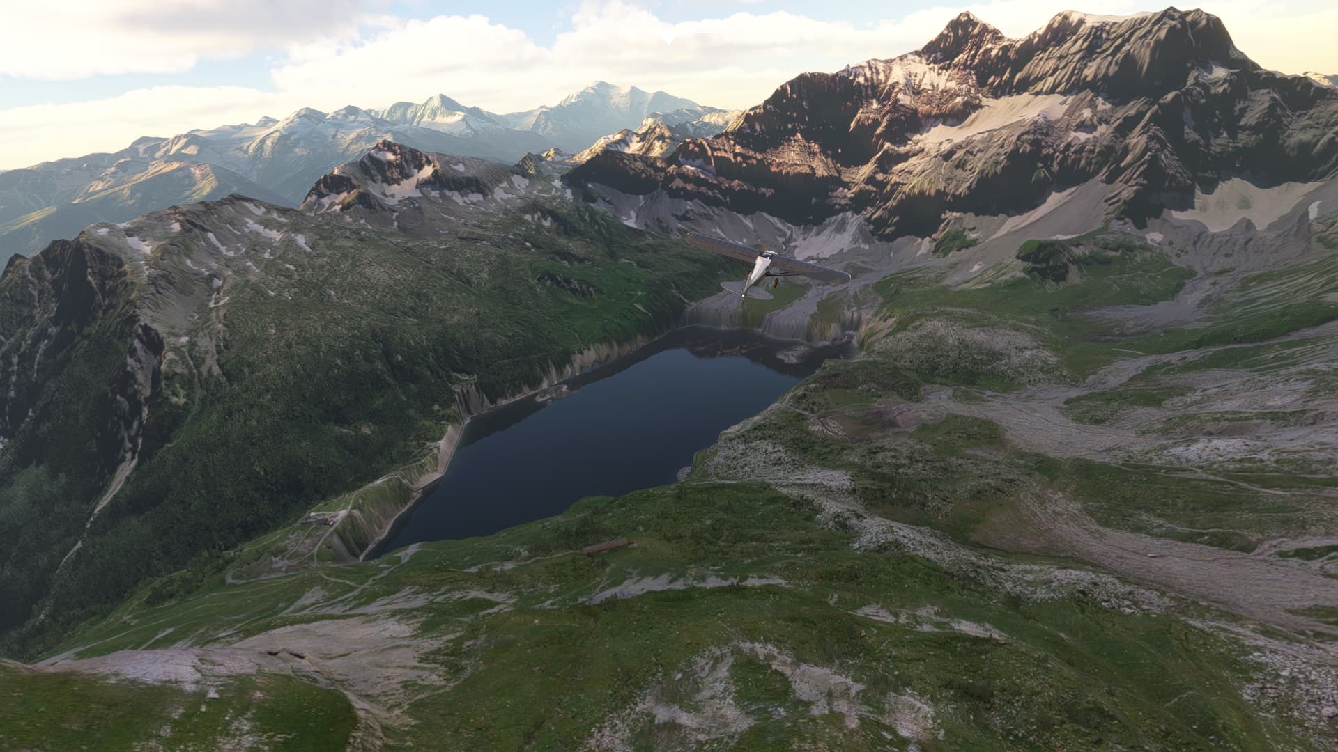
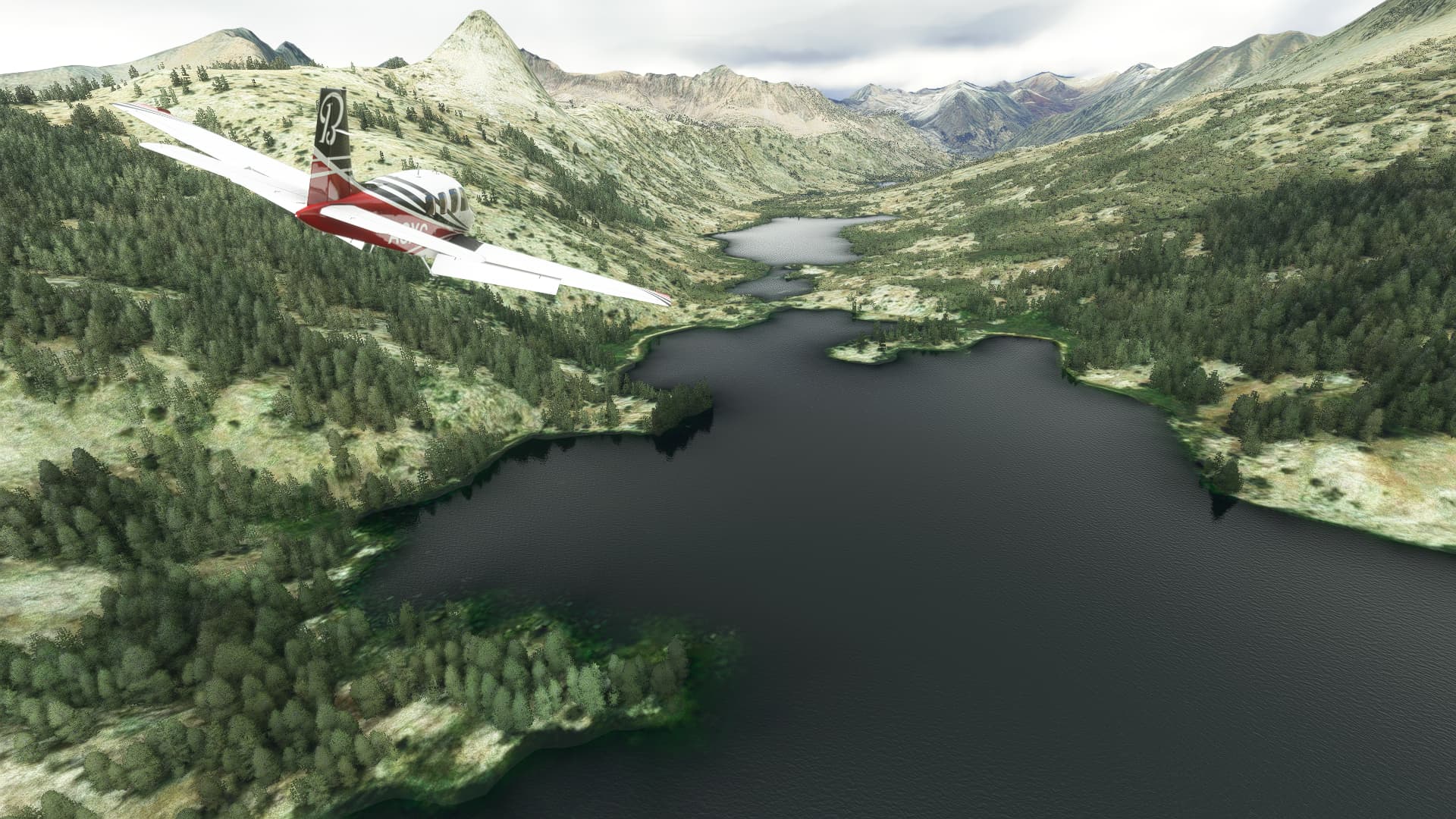
From Onion Valley Campground, the trail ascends for 4 miles to the summit of Keasarge Pass at 11,709’. I had to make a couple of more tight circles to get up and over the pass, but the views beyond are spectacular. The many Kearsarge Lakes are nestled up against the ridgeline to the south and in the distance Bullfrog Lake reflects the sky.
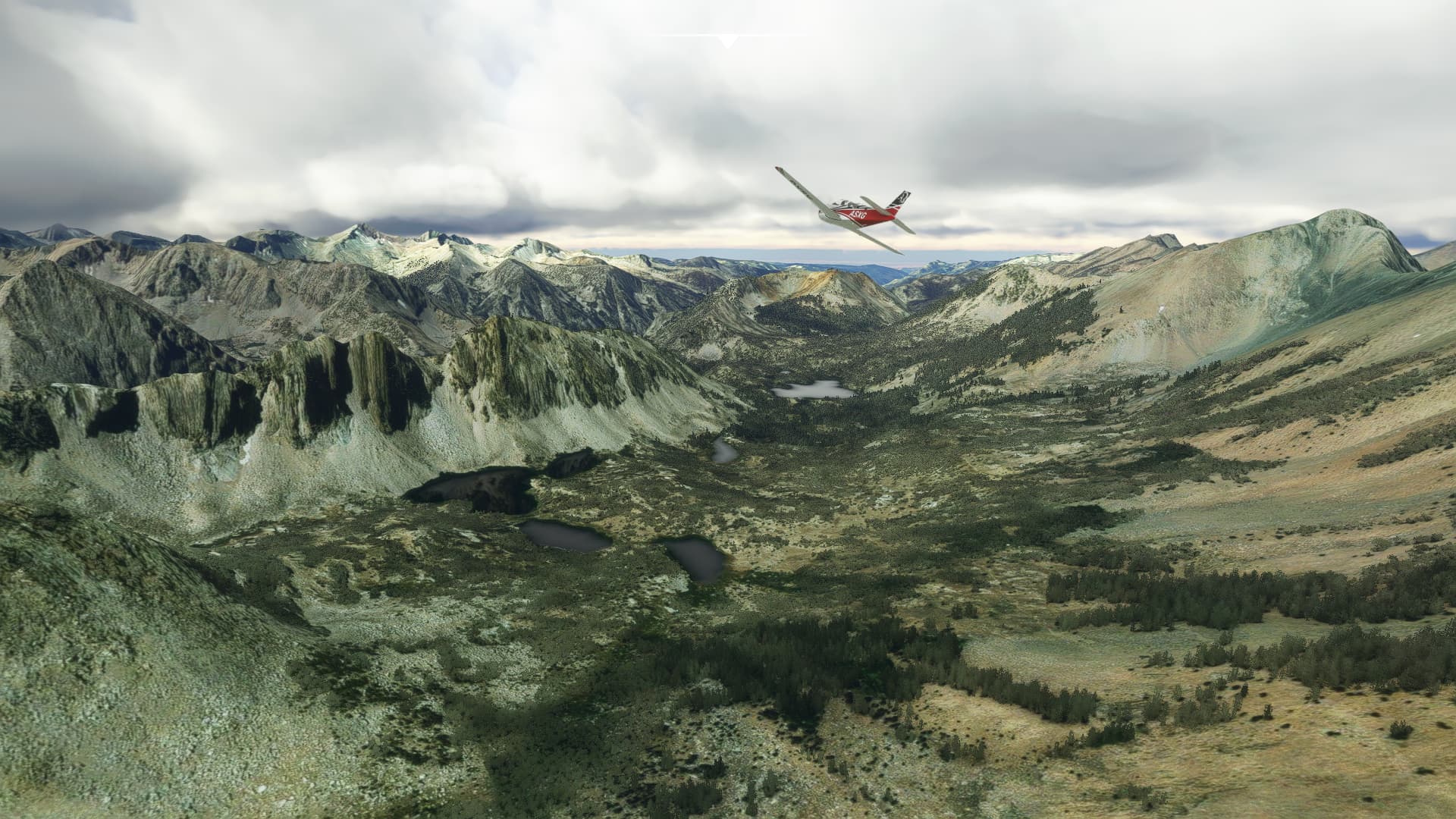
After crossing Kearsarge Pass, the trail meets up with the JMT/PCT and turns north to head over Glenn Pass, which at 11,926’ is the highest point on the trail. You can actually see the trail in the screenshot below crossing over the pass. The large lake in the distance, nestled in the green valley is the southernmost of the Rae Lakes.
Now THAT is an efficient use of sim time. Lovely views, a good looking plane, and nice scouting for your trip. My wife likes to use the Wander VR app, but if you have a VR headset, Google Earth has a PC based viewing I believe. Either way she likes to do a lay-of-the-land walkthrough on where we are going before we travel. But the flight sim allows a much better flyover overview you’d otherwise miss. “What does the full valley even look like?” “How high are both of these ridges?” “How close is the nearest road/rest/town?”