So this thread got me off my butt. I asked my son to invite me next time he went somewhere and he called this morning and said he’s going to Saddle Mountain - a hike I have never done. It embarrasses me when @CraigM, who has only been in Oregon such a short time, has done so many hikes!
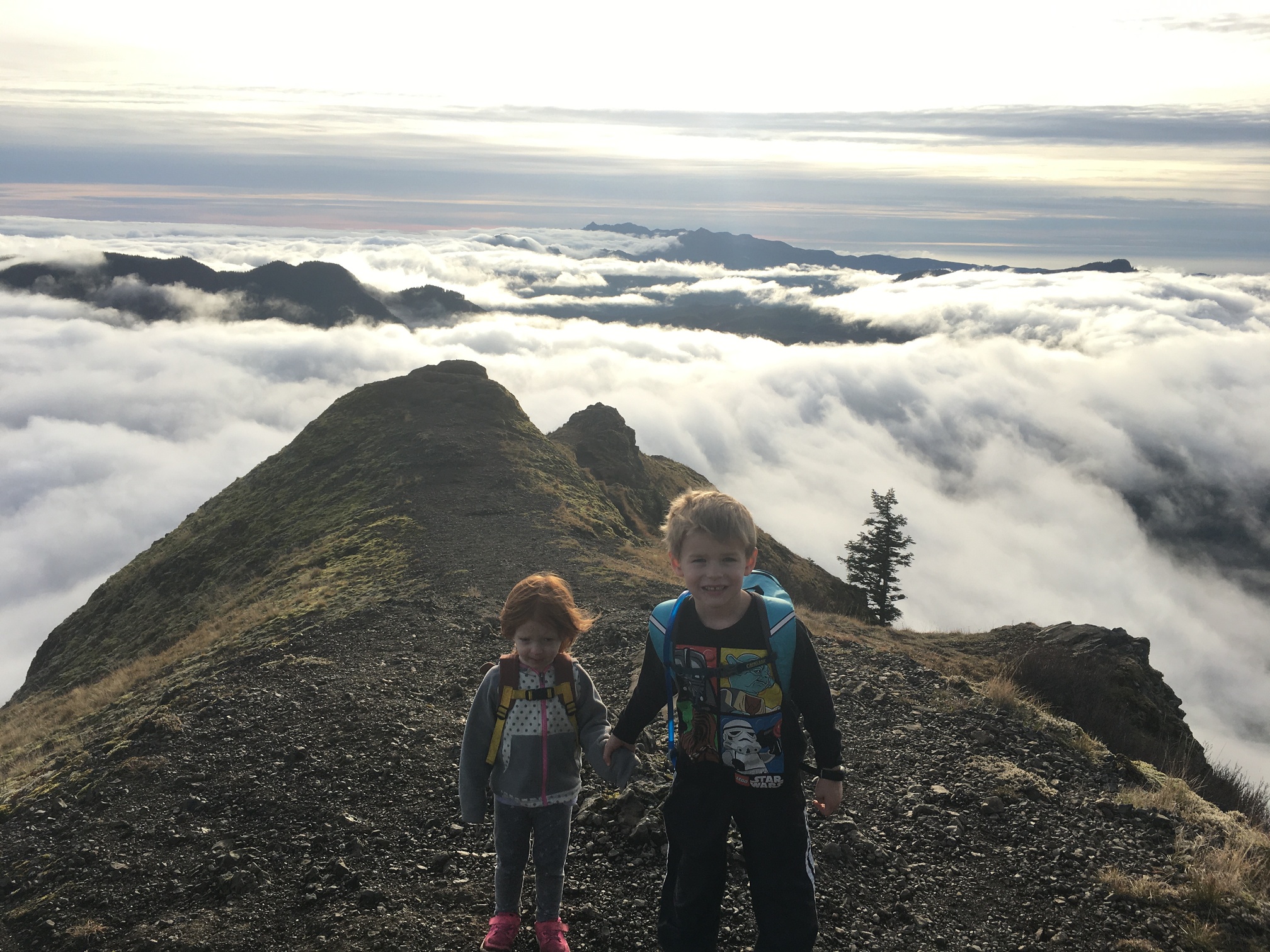
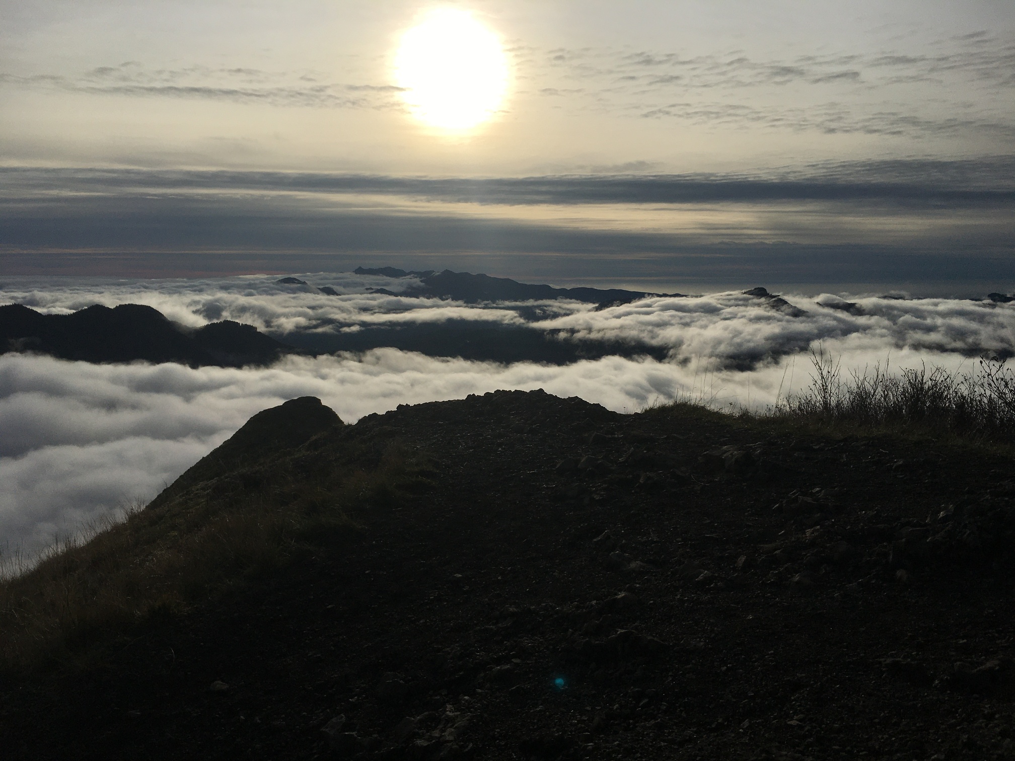
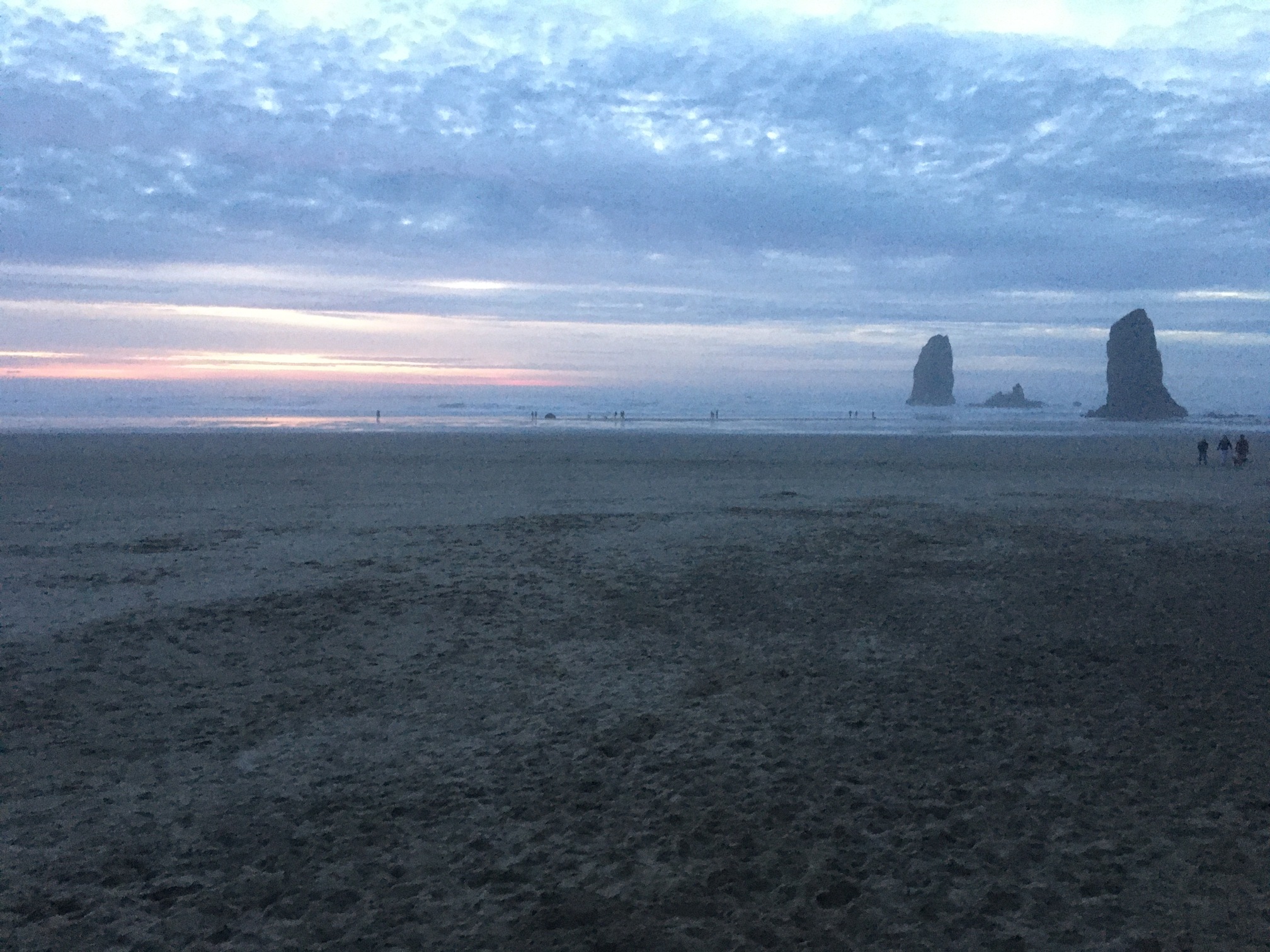
Anyway, you couldn’t have asked for a better day. Clear skies. From the top you could see Astoria, Mt Rainier, Mt Hood, Mt St Helens and Adams. Incredible. This shot below, that is the Ocean over our shoulders!
Here’s the Astoria / Columbia River shot:
Trip Report: It was a tough 4.7 mile roundtrip with 1,700 ft elevation gain which incidentally felt like 1,000 was in the last 1/2 mile. It didn’t kill this 55 yr old overweight guy, but I’m sure I’ll be paying for it tomorrow.
Edit to add more details
The trailhead off Hi-way 26 is an adventure / sightseeing in itself, a 7 mile curving lemans like road through the dense thickets of the PacNW range. Keep going till the end. There is a decent cinderblock restroom with running water at the beginning of the trail.
It’s strange, the first 100-200yds of the trail are remnants of what can only be described as an attempt to pave the trail for that initial portion. I can only guess they did this b/c at the lower elevations it could get pretty muddy.
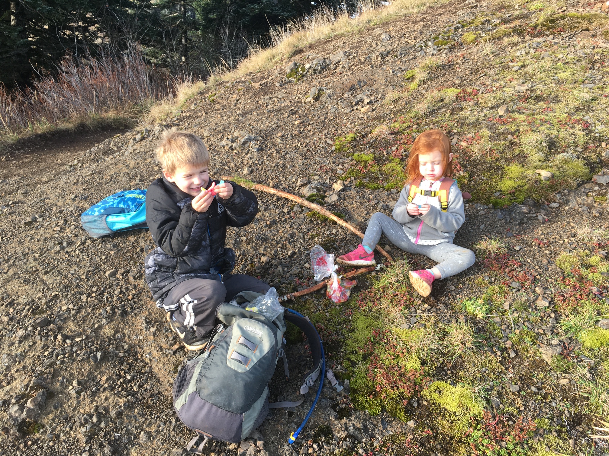
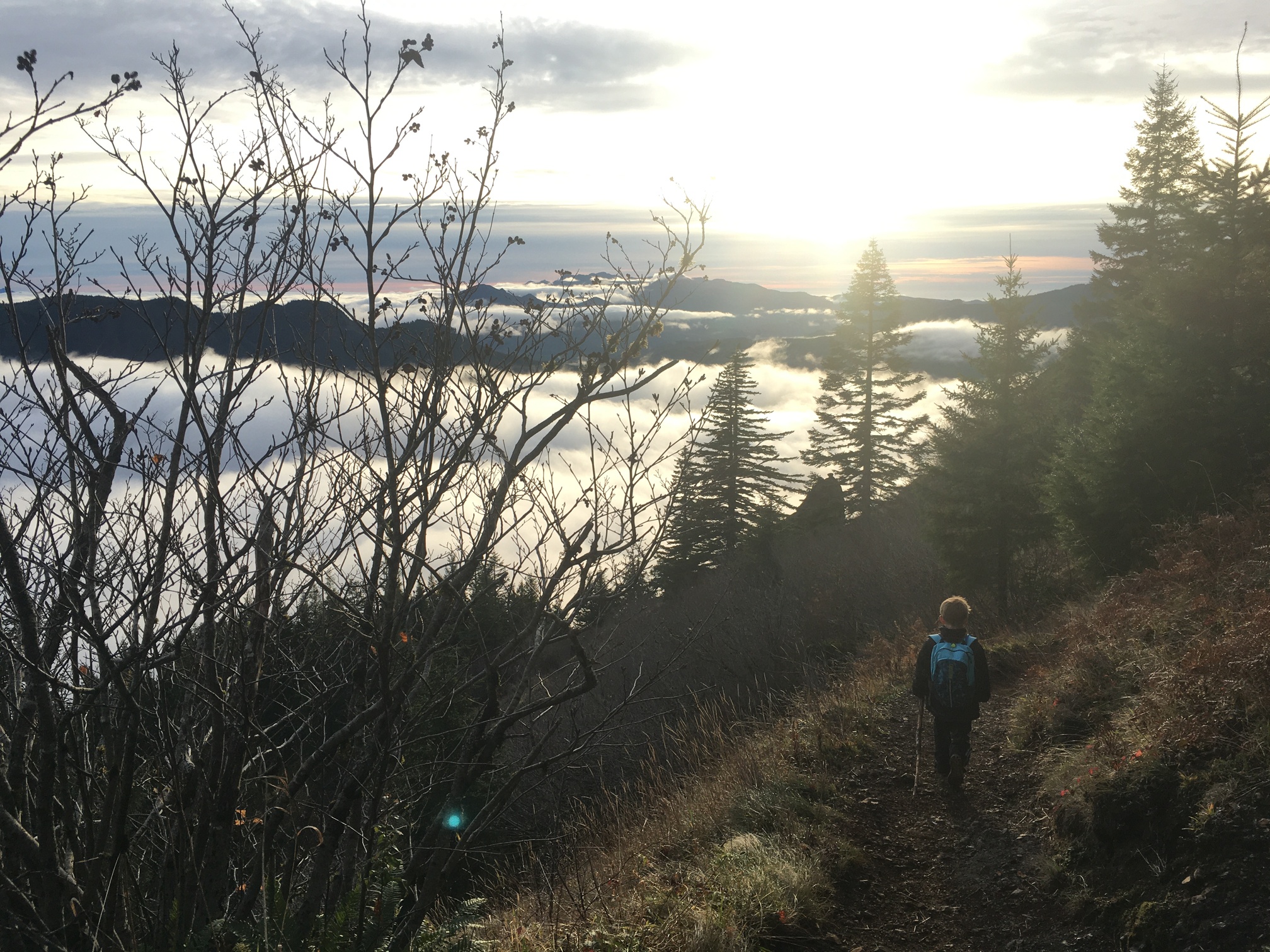
You start off in a beautiful old growth alder forest, with the trunks dominating the landscape. This quickly turns into a more coniferous forest with towering firs and cedars. The moss covered branches are their own beauty. At just over mile marker 1, there is the first of many picnic tables strategically placed to give people a nice place to sit down and enjoy the views.
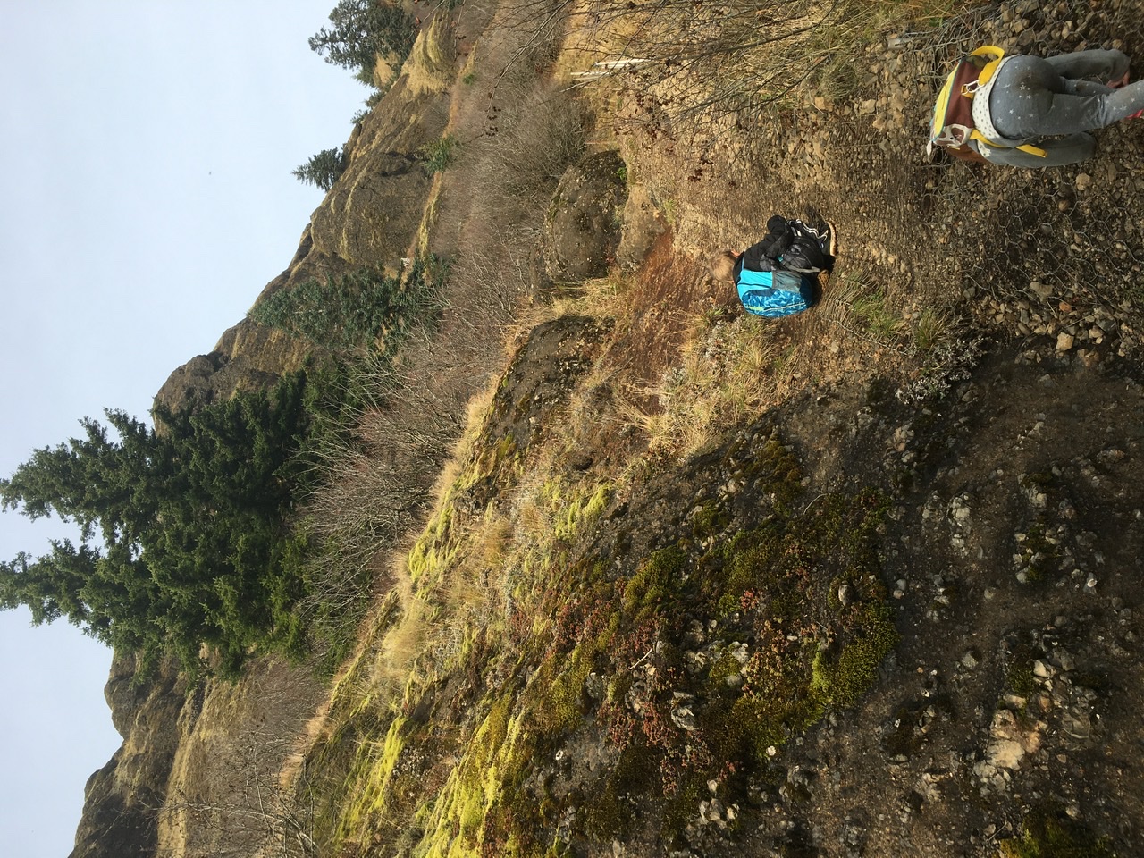
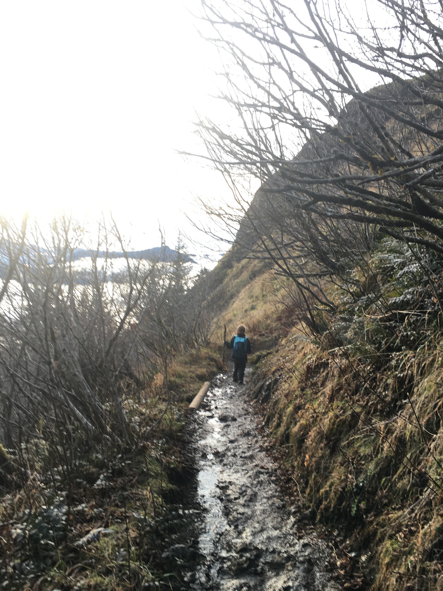
The trail then turns to rock. I think Saddle mountain is 90% basalt and most of the trails have been carved out. In several places, you will have a running water stream over the trail, but only an inch or so deep. Still, I was glad I had my waterproof shoes on. As you get into this rocky area, the trail is a never ending series of switchbacks that give you a cascade / endless patchwork of fir forests that are being harvested. At this point, you will start to see portions of the trail covered in a fencing like material to create a more firm path than the chipped away basalt.
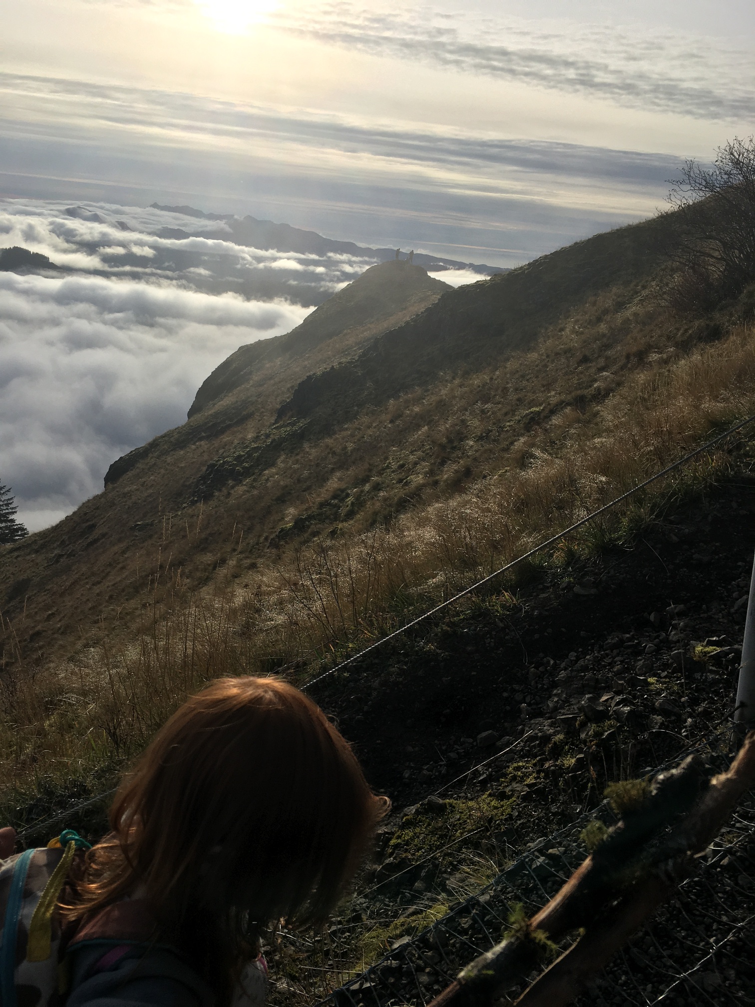
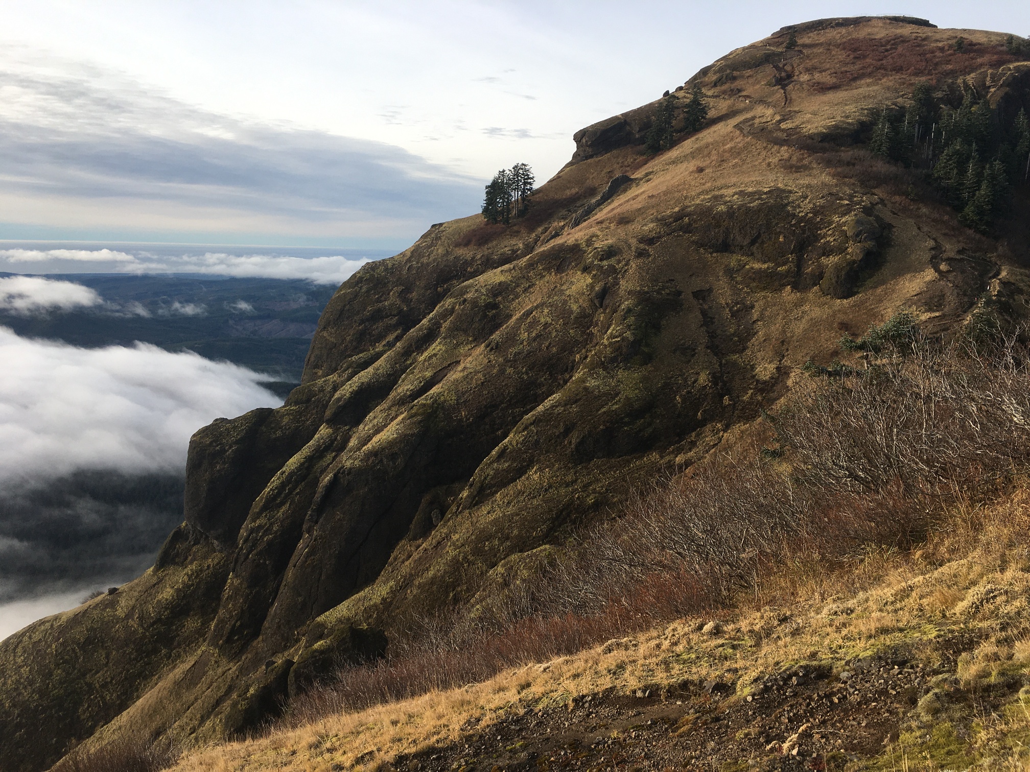
About 1/2 mile from the top, you will have a nice scenic look-out that gives great views of the forests and ocean beyond. Then you turn a corner and are presented with this view showing the last portion to the top. This is where the mountain gets it’s name. It’s a short hike down to the bottom of the saddle and then a very steep climb to the top - almost all of it covered with chain linking material.
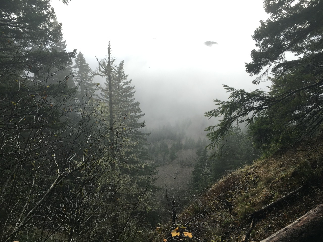
We were very lucky on the weather. My son has done this hike several times and he’s had fog, wind and light rain on several occasions, giving no views at all at the top.