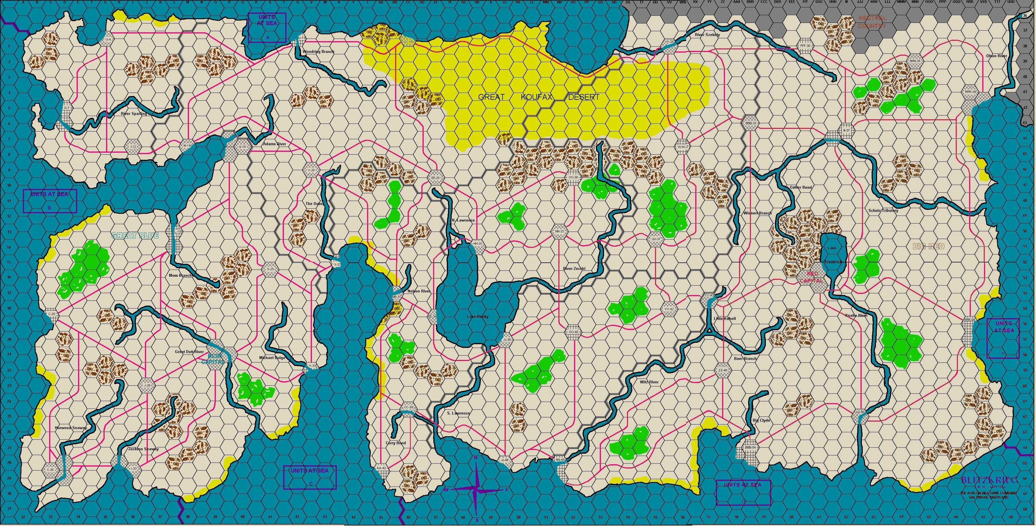
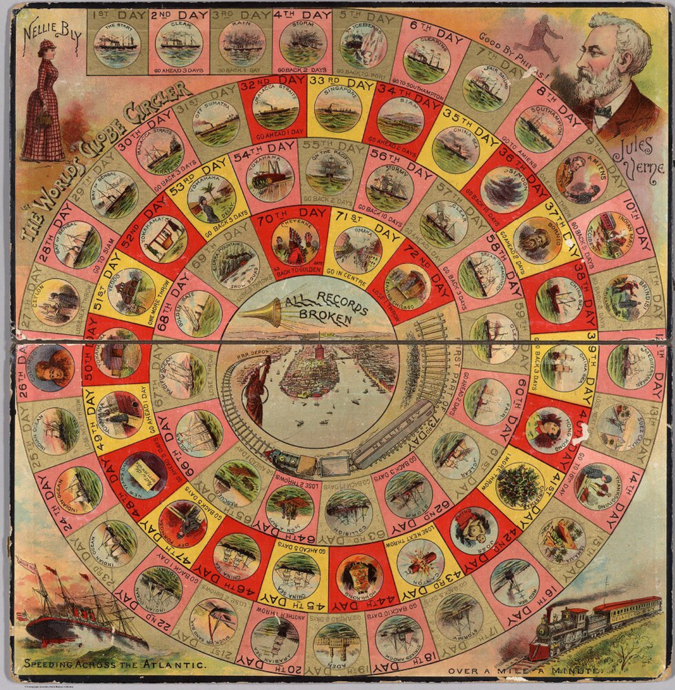
One of the first war games I bought (garage sale), and probably the oldest. Not bad for 1965.

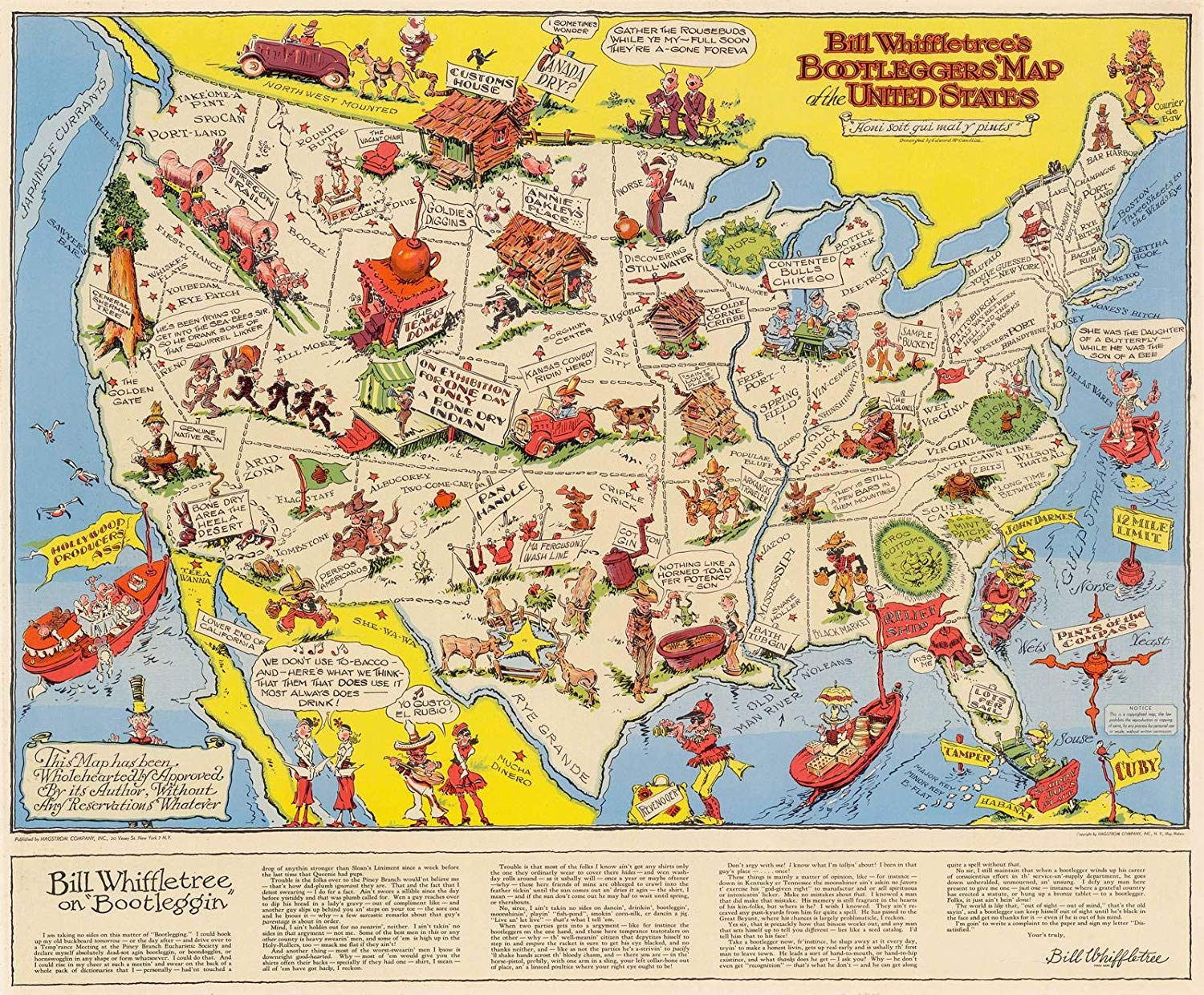
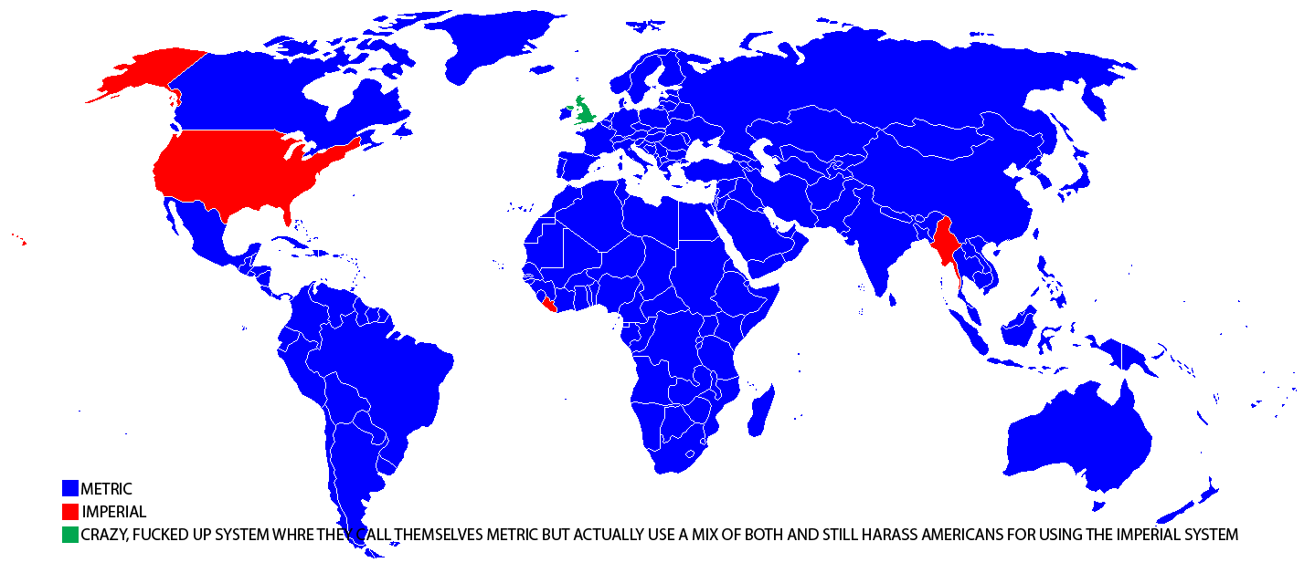
Here is a different kind of map. Whether or not is satirical is not obvious.
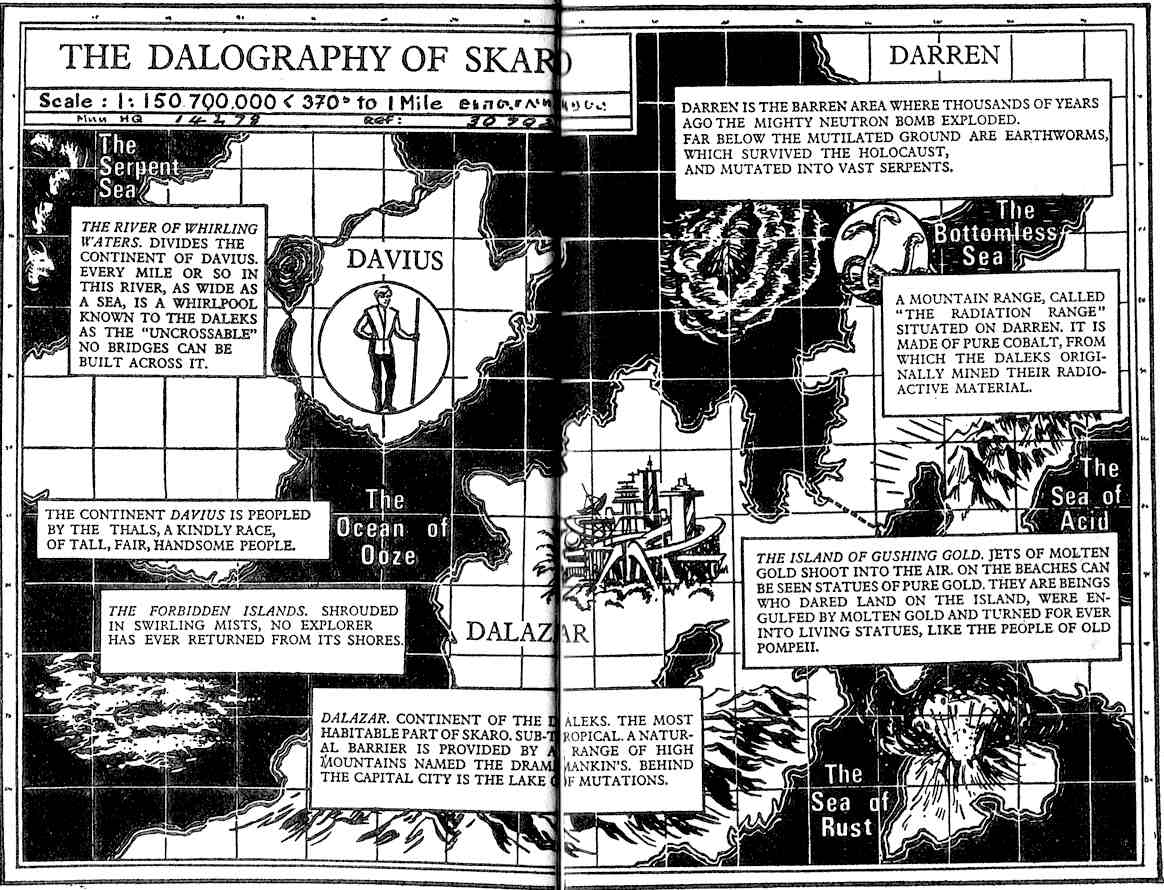

No New New Aberdeen? Tsk tsk.


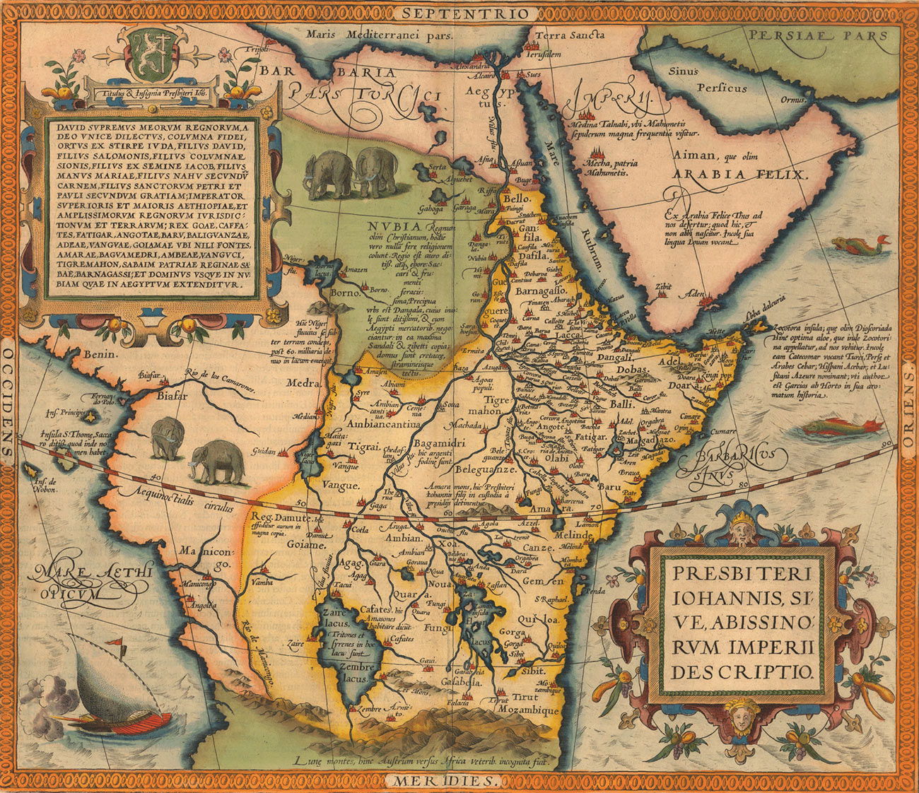
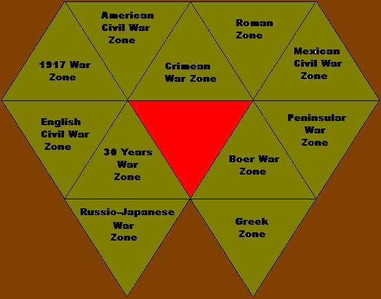
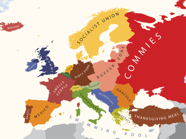
Europe according to Americans:
De Molukkische Eilanden
The Moluccas, though highlighted in this map, appear lost in the pantheon of islands that constitute the East Indies. The navigational difficulties for early European explorers seem almost insurmountable. Note that the equator has moved south and now passes between Machian (Makian) and Bachian (Bacan). Oddly, the western peninsula of New Guinea is presented as an island (Terre des Papous).