Second chair, screen sits on a desk with the mouse, keyboard, an xbox’s controller and some trays for all the paperwork that comes from running a multinational landscaping empire. I could try flying the thing with that controller of course but… nah I’ll just fire DCS up and gun some fools with a MiG-15 :D
Another country to try when this comes out is Namibia: https://africageographic.com/stories/wings-over-namibias-desert/#agtravel-2
Reading these articles this morning is just getting me more and more revved up for this.
On the other hand, this from The Verge doesn’t sound so great:
Osaka isn’t exactly some backwater. Still, I can live without landmarks in a lot of places as long as the made up stuff still looks good and area appropriate.
Edit: PC Gamer’s take on the same issue is a bit more positive:
Hopefully not too long before they are supporting other headsets.
Also from the Verge article, which is disappointing:
Despite the Bing tie-in, for example, you’re essentially taking off at one airport and landing at another with little in the way of basic map navigation. I found myself flying with Google Maps open on an iPad whenever I wanted to look for a particular landmark.
I always figured I’d be using Google Maps to figure out where to fly next to find what I was looking for, since I figured airplanes themselves don’t have any kind of feature on how to look for famous landmarks or highways, etc., and therefore neither would a flight simulator.
Planes don’t have GPS navigation? Maybe not a Cessna, but surely the jets must, don’t they?
So you can search for things like the Eiffel Tower or the Pyramids in a jet, you think? Why would that be a useful feature on a jet?
Looking at this video it looks like it has landmark highlighting

Ooh, thanks for that video. I live in Lewisham. Well, not technically, but right on the border.
Edit: And for the first time, I’ve seen my apartment building in the game! It’s definitely not photogrammetised, but it’s recognisable in context anyway.
For reference, this is the Old Naval College/Maritime Museum/Greenwich Park in the sim:
And here’s more or less the same view in real life:

No, I didn’t mean like that, but a GPS view of the land that might list landmarks, roads, etc. I wasn’t thinking of a Waze for a plane, but one designed for planes, where you enter the airport you are going to and gives you navigation.
Edit: After watching that video, it looks like the Bing stuff does tell you about a lot of the major landmarks.
I love that at the 2 minute mark he kind of leans upward to see over his instrument panel. I wonder if you do that with the right thumbstick?
Also, yes, the way they mark landmarks is nice. That really helps draw the eye to famous spots that would be otherwise hard to spot. Especially in a city like London.
Canary Wharf is a bit weird in that video. They’ve gone to the effort of getting the round residential tower the right shape, but apparently not the much more famous/iconic One Canada Square, which was the UK’s tallest building for a long time.
Presumably landscape quality will climb with time and/or money?
Yes Canary Wharf is rather underwhelming.
Found a list of cities with confirmed photogrammetry and London isn’t on it.
There’s a quote in the Verge article that they wanted to do less familiar places (which certainly fits with the list of handcrafted airports) .
San Francisco to Las Vegas

and another gigantic preview Flight Simulator hands-on: Microsoft looks different 20,000 feet in the air | Ars Technica
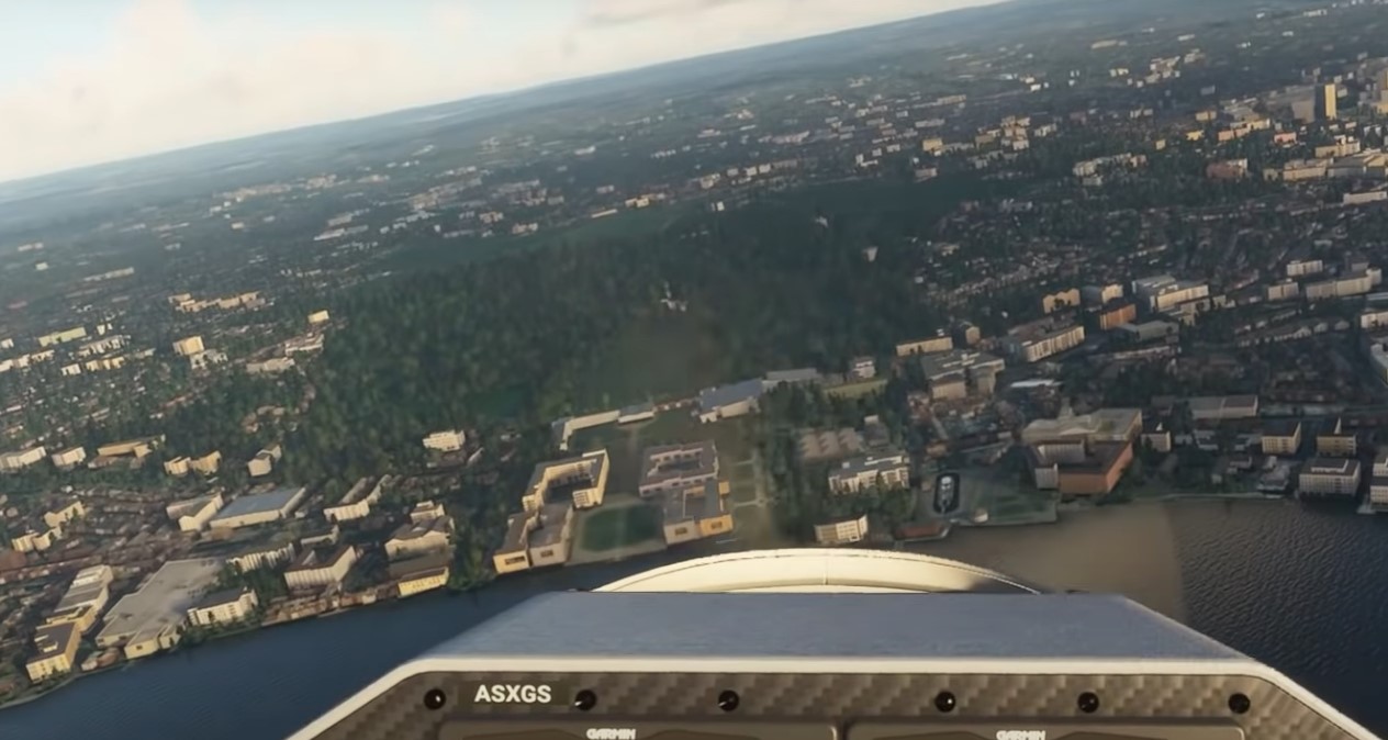
I got into the Beta!
Oh, no, it looks like they don’t have the Viaduc de Millau! I remember it was bastardised in ETS too, because of some rights issue. Wonder if that’s what happened here too.